Cheltenham Area, Cheltenham Postcode(3192) & Map in Cheltenham, Melbourne - Inner South, VIC
Cheltenham Area, Cheltenham Postcode(3192) & Map in Cheltenham, Melbourne - Inner South, VIC, AU, Postcode: 3192
Cheltenham, Cheltenham - Highett (East), Kingston, Melbourne - Inner South, Victoria, Australia, 3192
Cheltenham Postcode
Area Name
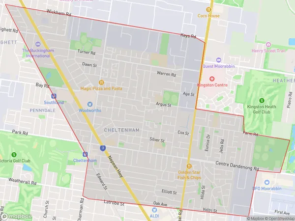
CheltenhamCheltenham Suburb Area Map (Polygon)

Cheltenham Introduction
Cheltenham is a suburb in Melbourne's inner south, located 10 kilometers from the city center. It is known for its well-maintained parks, tree-lined streets, and prestigious homes. The suburb has a rich cultural heritage and is home to several historic buildings, including the Cheltenham Baptist Church and the Cheltenham Town Hall. It is also home to a variety of shops, restaurants, and cafes, making it a popular destination for locals and visitors alike.State Name
City or Big Region
District or Regional Area
Suburb Name
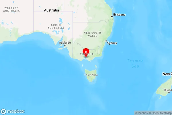
Cheltenham Region Map

Country
Main Region in AU
R1Coordinates
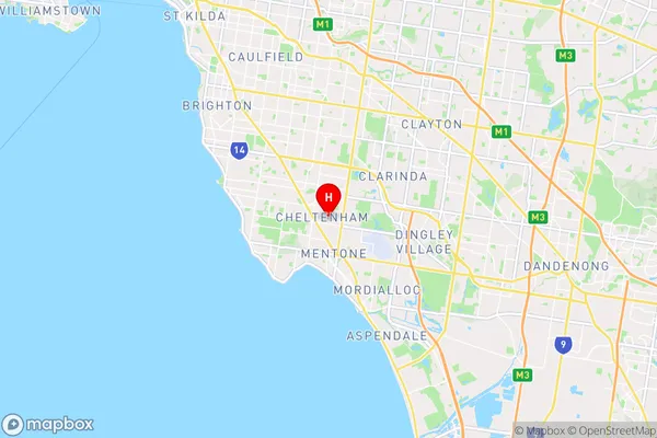
-37.964155,145.0658766 (latitude/longitude)Cheltenham Area Map (Street)

Longitude
145.0623Latitude
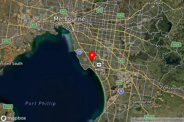
-37.965655Cheltenham Suburb Map (Satellite)

Distances
The distance from Cheltenham, Melbourne - Inner South, VIC to AU Greater Capital CitiesSA1 Code 2011
20803118829SA1 Code 2016
20803118829SA2 Code
208031188SA3 Code
20803SA4 Code
208RA 2011
1RA 2016
1MMM 2015
1MMM 2019
1Charge Zone
V1LGA Region
KingstonLGA Code
23430Electorate
Isaacs