Wishart Area, Wishart Postcode(3189) & Map in Wishart, Melbourne - Inner South, VIC
Wishart Area, Wishart Postcode(3189) & Map in Wishart, Melbourne - Inner South, VIC, AU, Postcode: 3189
Wishart, Moorabbin - Heatherton, Kingston, Melbourne - Inner South, Victoria, Australia, 3189
Wishart Postcode
Area Name
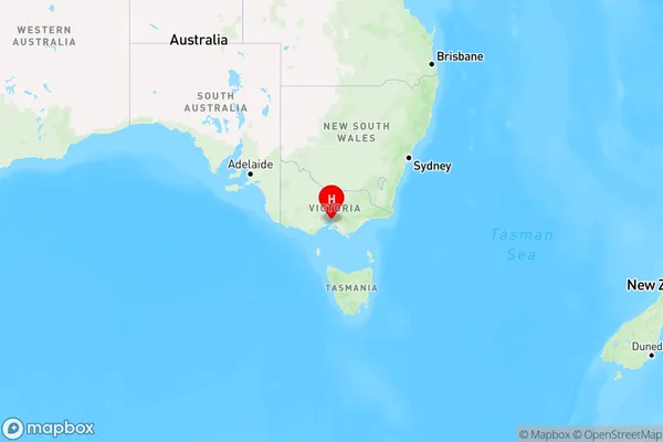
WishartWishart Suburb Area Map (Polygon)

Wishart Introduction
Wishart is a suburb in Melbourne, Australia, located 6 kilometers south-east of the central business district. It is represented by the Legislative Assembly of Victoria as the Division of Batman. The suburb was named after Sir William Thomas Wishart, a Scottish-born judge and politician. Wishart has a rich history and is known for its historic homes and gardens. It is also home to a variety of shops, cafes, and restaurants.State Name
City or Big Region
District or Regional Area
Suburb Name
Wishart Region Map

Country
Main Region in AU
R1Coordinates
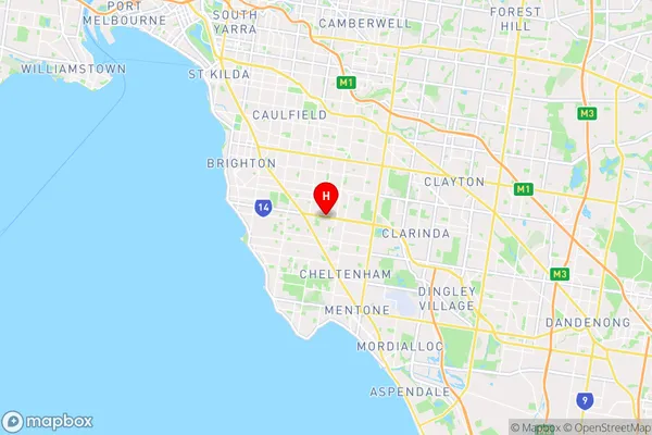
-37.9350908,145.0495054 (latitude/longitude)Wishart Area Map (Street)

Longitude
145.047802Latitude
-37.942021Wishart Elevation
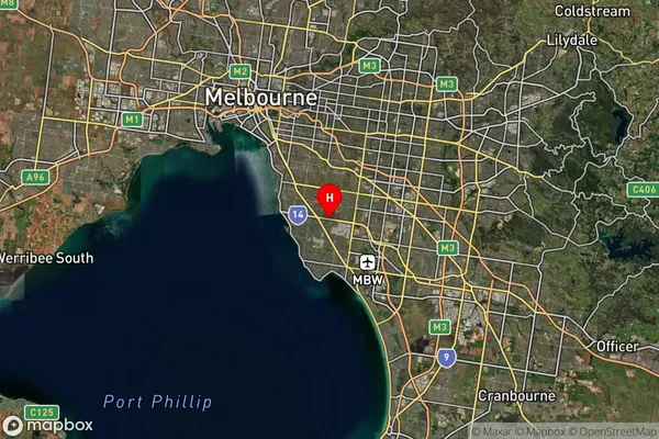
about 34.87 meters height above sea level (Altitude)Wishart Suburb Map (Satellite)

Distances
The distance from Wishart, Melbourne - Inner South, VIC to AU Greater Capital CitiesSA1 Code 2011
20803119111SA1 Code 2016
20803119111SA2 Code
208031191SA3 Code
20803SA4 Code
208RA 2011
1RA 2016
1MMM 2015
1MMM 2019
1Charge Zone
V1LGA Region
BaysideLGA Code
20910Electorate
Isaacs