Roxburgh Suburbs & Region, Roxburgh Map & Postcodes in Roxburgh, Central Otago, Central Otago / Lakes District, Otago, South Island, New Zealand
Roxburgh Postcodes, Roxburgh ZipCodes, Roxburgh , Roxburgh Otago, Roxburgh Suburbs, Roxburgh Region, Roxburgh Map, Roxburgh Area
Roxburgh Region
Roxburgh Suburbs
Roxburgh is a suburb place type in Central Otago, Central Otago / Lakes District, Otago, South Island, New Zealand, NZ. It contains 12 suburbs or localities.Roxburgh district
Central OtagoRoxburgh Introduction
Roxburgh is a small town located in the Otago region of New Zealand, about 45 minutes south of Dunedin. It is known for its historic buildings, including the Roxburgh Castle, which is a ruin of a Scottish castle built in the 18th century. The town also has a beautiful riverwalk and a variety of outdoor activities, such as hiking, fishing, and skiing. Roxburgh is a popular destination for tourists and has a strong community spirit with a variety of festivals and events throughout the year.Roxburgh Region
Roxburgh City
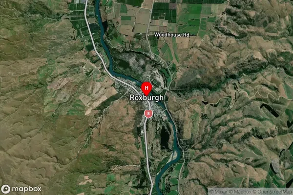
Roxburgh Satellite Map

Full Address
Roxburgh, Central Otago, Central Otago / Lakes District, Otago, South Island, New ZealandRoxburgh Coordinates
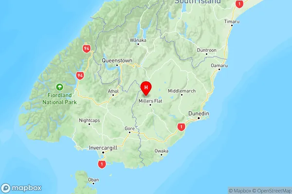
-45.53934,169.31394 (Latitude / Longitude)Roxburgh Map in NZ

NZ Island
South IslandCountry
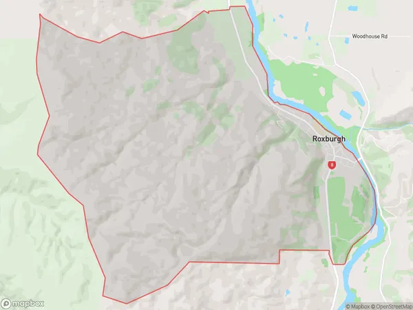
Roxburgh Area Map (Polygon)

Name
RoxburghAdditional Name
Local Authority
Central Otago District
Roxburgh Suburbs (Sort by Population)
Roxburgh
Roxburgh - 690Roxburgh East
Roxburgh East - 298Ettrick
Ettrick - 258Millers Flat
Millers Flat - 230Lake Roxburgh Village
Lake Roxburgh Village - 120Teviot
Teviot - 82Coal Creek Flat
Coal Creek Flat - 82Dumbarton
Dumbarton - 58Knobby Range
Knobby Range - 30Island Block
Island Block - 29Shingle Creek
Shingle Creek - 18Lake Onslow
Lake Onslow - 0
