Shingle Creek Area, Shingle Creek Postcode & Map in Shingle Creek
Shingle Creek Area, Shingle Creek Postcode & Map in Shingle Creek, Central Otago District, New Zealand
Shingle Creek, Central Otago District, New Zealand
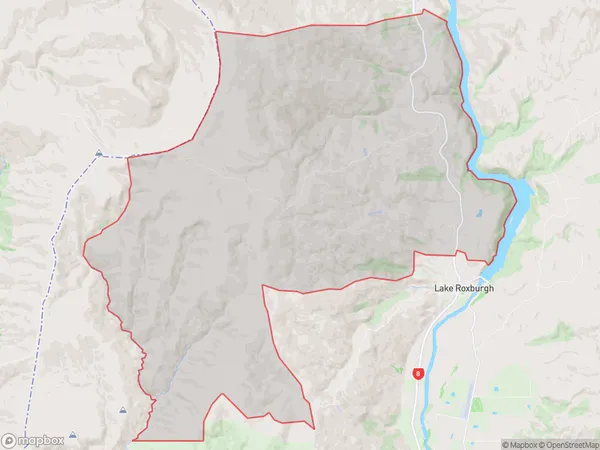
Shingle Creek Area (estimated)
132.7 square kilometersShingle Creek Population (estimated)
18 people live in Shingle Creek, Teviot Valley Community, NZShingle Creek Suburb Area Map (Polygon)
Shingle Creek Introduction
Shingle Creek is a small rural community located in the Roxburgh district of Otago, New Zealand. It is situated on the banks of the Shingle Creek River, approximately 20 kilometers south of Roxburgh Town. The area is known for its scenic beauty, with rolling hills, lush green forests, and picturesque farmland. The community has a population of around 50 people and is home to a primary school, a church, and a few small businesses.Region
Major City
Suburb Name
Shingle CreekShingle Creek Area Map (Street)
Local Authority
Central Otago DistrictFull Address
Shingle Creek, Central Otago District, New ZealandAddress Type
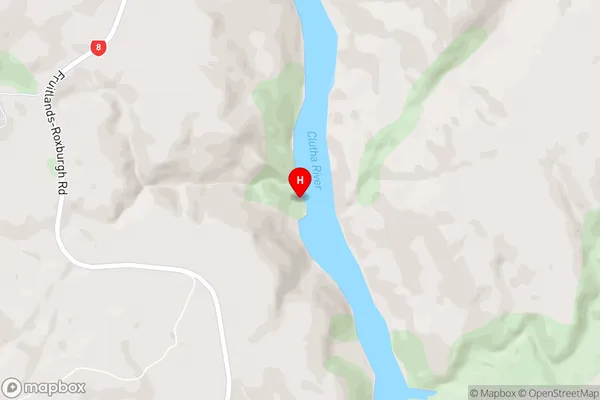
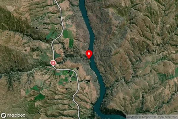
Locality in Town RoxburghShingle Creek Suburb Map (Satellite)
Country
Main Region in AU
OtagoShingle Creek Region Map

Coordinates
-45.4225639,169.3132258 (latitude/longitude)Distances
The distance from Shingle Creek, Roxburgh, Central Otago District to NZ Top 10 Cities