Roxburgh Area, Roxburgh Postcode(9500) & Map in Roxburgh
Roxburgh Area, Roxburgh Postcode(9500) & Map in Roxburgh, Central Otago District, New Zealand
Roxburgh, Central Otago District, New Zealand
Roxburgh Area (estimated)
22.0 square kilometersRoxburgh Population (estimated)
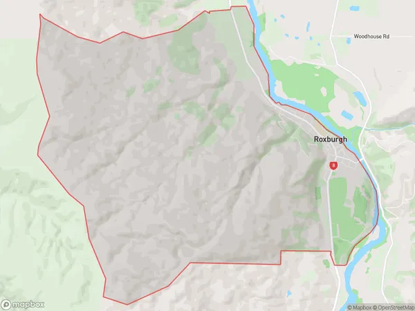
690 people live in Roxburgh, Teviot Valley Community, NZRoxburgh Suburb Area Map (Polygon)
Roxburgh Introduction
Roxburgh is a small town in Otago, New Zealand, located on the banks of the Roxburgh River. It is known for its historic buildings, including the Roxburgh Castle, and its scenic surroundings, including the Roxburgh Gorge and the Taieri River. Roxburgh is a popular tourist destination and is home to a variety of recreational activities, including hiking, fishing, and cycling.Region
Major City
Suburb Name
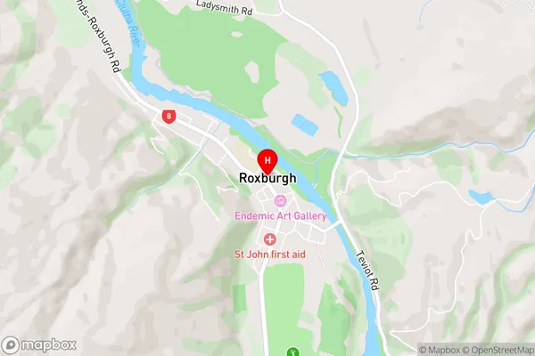
RoxburghRoxburgh Area Map (Street)
Local Authority
Central Otago DistrictFull Address
Roxburgh, Central Otago District, New ZealandAddress Type
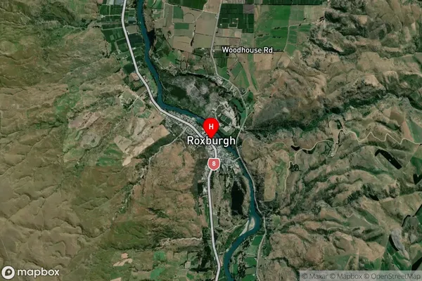
Suburb in Town RoxburghRoxburgh Suburb Map (Satellite)
Country
Main Region in AU
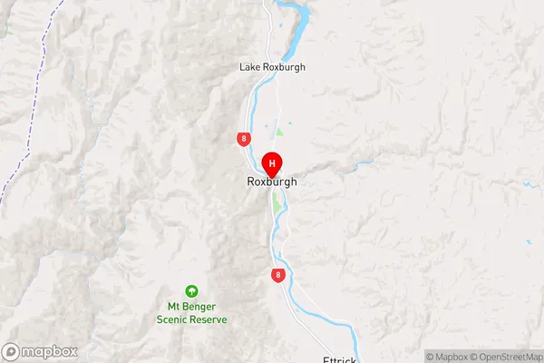
OtagoRoxburgh Region Map
Coordinates
-45.5393399,169.3139403 (latitude/longitude)Distances
The distance from Roxburgh, Roxburgh, Central Otago District to NZ Top 10 Cities