Millers Flat Area, Millers Flat Postcode(9572) & Map in Millers Flat
Millers Flat Area, Millers Flat Postcode(9572) & Map in Millers Flat, Central Otago District, New Zealand
Millers Flat, Central Otago District, New Zealand
Millers Flat Area (estimated)
128.8 square kilometersMillers Flat Population (estimated)
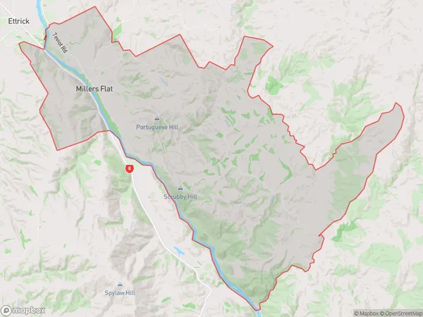
230 people live in Millers Flat, Teviot Valley Community, NZMillers Flat Suburb Area Map (Polygon)
Millers Flat Introduction
Millers Flat is a small rural community located in the Roxburgh district of Otago, New Zealand. It is situated on the banks of the Clutha River, approximately 20 kilometers south of Roxburgh Town. The area was first settled in the 1860s by Scottish immigrants and has a rich history of farming and forestry. Today, Millers Flat is a popular tourist destination, known for its stunning natural scenery and outdoor activities such as hiking, fishing, and skiing. The community has a primary school, a post office, a general store, and a few cafes and restaurants.Region
Major City
Suburb Name
Millers FlatOther Name(s)
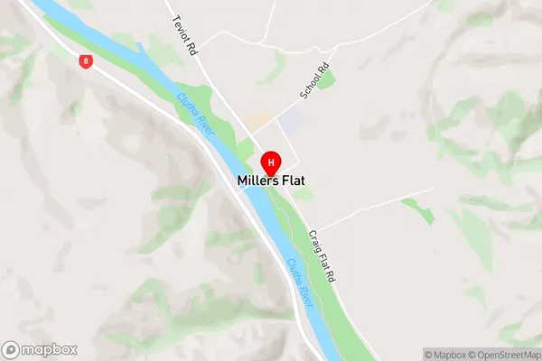
Onslow, Otago Goldfields, RigneyMillers Flat Area Map (Street)
Local Authority
Central Otago DistrictFull Address
Millers Flat, Central Otago District, New ZealandAddress Type
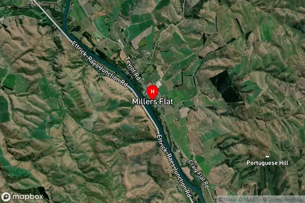
Locality in Town RoxburghMillers Flat Suburb Map (Satellite)
Country
Main Region in AU
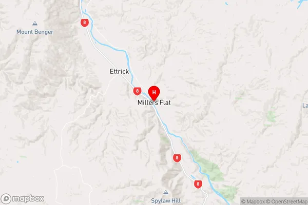
OtagoMillers Flat Region Map
Coordinates
-45.6639043,169.4115378 (latitude/longitude)Distances
The distance from Millers Flat, Roxburgh, Central Otago District to NZ Top 10 Cities