Teviot Area, Teviot Postcode & Map in Teviot
Teviot Area, Teviot Postcode & Map in Teviot, Central Otago District, New Zealand
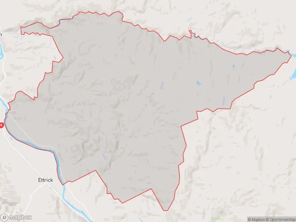
Teviot, Central Otago District, New Zealand
Teviot Area (estimated)
187.9 square kilometersTeviot Population (estimated)
82 people live in Teviot, Teviot Valley Community, NZTeviot Suburb Area Map (Polygon)
Teviot Introduction
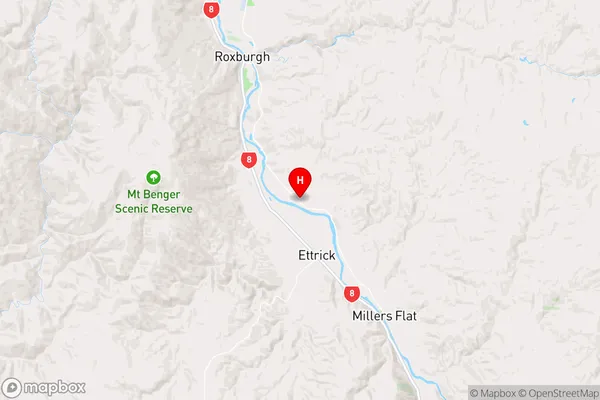
Teviot is a small rural town in Roxburgh, Otago, New Zealand. It is situated on the banks of the Teviot River and is known for its scenic beauty, including the Teviot Falls. The town has a population of around 1,000 people and is a popular destination for tourists who enjoy hiking, fishing, and skiing.Region
Major City
Suburb Name
TeviotOther Name(s)
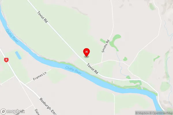
Knobbies, OnslowTeviot Area Map (Street)
Local Authority
Central Otago DistrictFull Address
Teviot, Central Otago District, New ZealandAddress Type
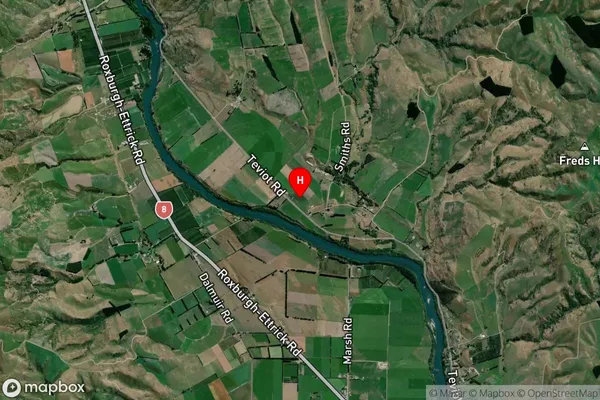
Locality in Town RoxburghTeviot Suburb Map (Satellite)
Country
Main Region in AU
OtagoTeviot Region Map
Coordinates
-45.6082883,169.3536258 (latitude/longitude)Distances
The distance from Teviot, Roxburgh, Central Otago District to NZ Top 10 Cities