Roxburgh East Area, Roxburgh East Postcode(9500) & Map in Roxburgh East
Roxburgh East Area, Roxburgh East Postcode(9500) & Map in Roxburgh East, Central Otago District, New Zealand
Roxburgh East, Central Otago District, New Zealand
Roxburgh East Postcodes
Roxburgh East Area (estimated)
50.0 square kilometersRoxburgh East Population (estimated)
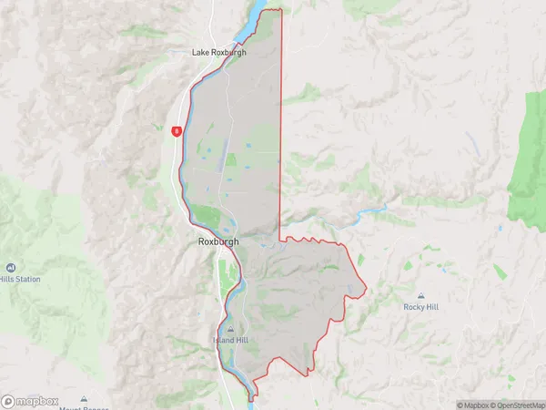
298 people live in Roxburgh East, Teviot Valley Community, NZRoxburgh East Suburb Area Map (Polygon)
Roxburgh East Introduction
Roxburgh East is a small residential area in Roxburgh, Otago, New Zealand. It is located on the banks of the Roxburgh River and is known for its peaceful atmosphere and scenic views. The area has a variety of housing options, including single-family homes, apartments, and townhouses. Roxburgh East is a convenient location for those who work in central Roxburgh or the surrounding areas, as it is only a short drive away. It also has a variety of recreational facilities, including parks, golf courses, and a swimming pool.Region
Major City
Suburb Name
Roxburgh EastOther Name(s)
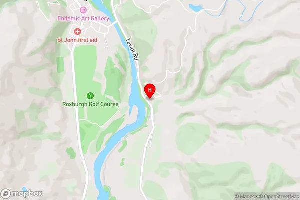
KnobbiesRoxburgh East Area Map (Street)
Local Authority
Central Otago DistrictFull Address
Roxburgh East, Central Otago District, New ZealandAddress Type
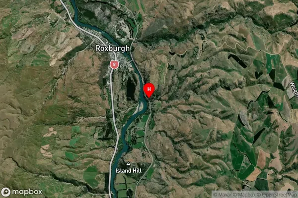
Locality in Town RoxburghRoxburgh East Suburb Map (Satellite)
Country
Main Region in AU
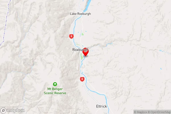
OtagoRoxburgh East Region Map
Coordinates
-45.5516828,169.3266106 (latitude/longitude)Distances
The distance from Roxburgh East, Roxburgh, Central Otago District to NZ Top 10 Cities