Island Block Area, Island Block Postcode & Map in Island Block
Island Block Area, Island Block Postcode & Map in Island Block, Central Otago District, New Zealand
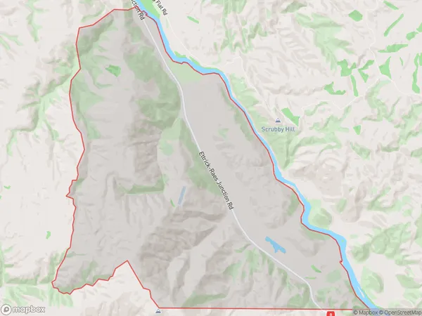
Island Block, Central Otago District, New Zealand
Island Block Area (estimated)
38.2 square kilometersIsland Block Population (estimated)
29 people live in Island Block, Teviot Valley Community, NZIsland Block Suburb Area Map (Polygon)
Island Block Introduction
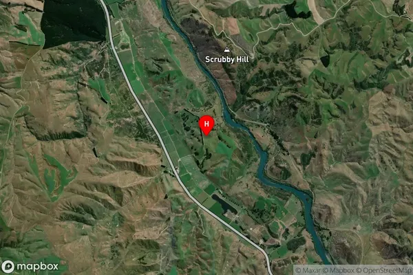
Island Block is a rural locality in Roxburgh, Otago, New Zealand. It is located on the southern shore of the Roxburgh River, approximately 10 kilometers south of Roxburgh Town. The area is known for its scenic rural landscape, with rolling hills, farmland, and picturesque views of the river and surrounding mountains. The population of Island Block is approximately 100 people, and the community is served by a local school and a small convenience store.Region
Major City
Suburb Name
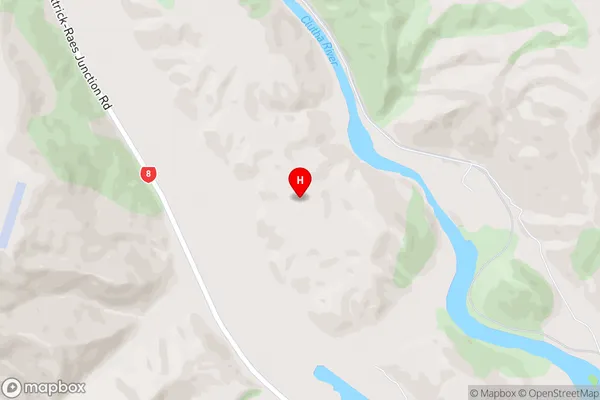
Island BlockIsland Block Area Map (Street)
Local Authority
Central Otago DistrictFull Address
Island Block, Central Otago District, New ZealandAddress Type
Locality in Town RoxburghIsland Block Suburb Map (Satellite)
Country
Main Region in AU
OtagoIsland Block Region Map

Coordinates
-45.72197,169.459511 (latitude/longitude)Distances
The distance from Island Block, Roxburgh, Central Otago District to NZ Top 10 Cities