Knobby Range Area, Knobby Range Postcode & Map in Knobby Range
Knobby Range Area, Knobby Range Postcode & Map in Knobby Range, Central Otago District,
Knobby Range, Central Otago District,
Knobby Range Area (estimated)
392.9 square kilometersKnobby Range Population (estimated)
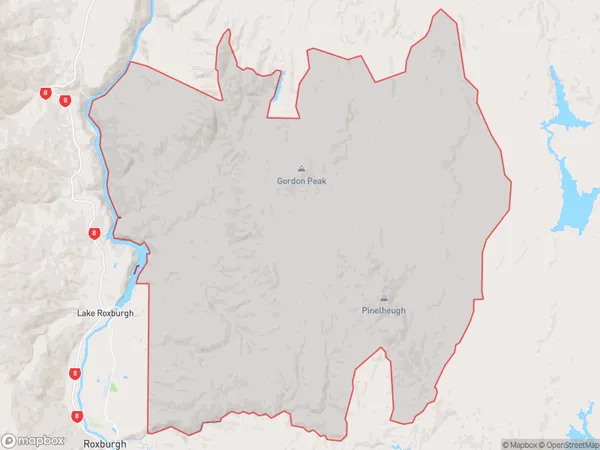
30 people live in Knobby Range, Central Otago / Lakes District, NZKnobby Range Suburb Area Map (Polygon)
Knobby Range Introduction
Knobby Range is a mountain range located in the Roxburgh District of Otago, New Zealand. It is part of the Southern Alps and rises to an elevation of 1,578 meters (5,160 feet). The range is known for its stunning alpine scenery, including glaciers, lakes, and waterfalls. The Knobby Range is a popular destination for outdoor enthusiasts, including hikers, mountain bikers, and skiers. It is also home to a number of conservation areas, including the Knobby Range Conservation Park and the Mount Aspiring National Park.Region
Major City
Suburb Name
Knobby RangeOther Name(s)
Knobbies, OnslowKnobby Range Area Map (Street)
Local Authority
Central Otago DistrictFull Address
Knobby Range, Central Otago District,Address Type
Locality in Town RoxburghKnobby Range Suburb Map (Satellite)
Country
Main Region in AU
OtagoKnobby Range Region Map
Coordinates
0,0 (latitude/longitude)Distances
The distance from Knobby Range, Roxburgh, Central Otago District to NZ Top 10 Cities