Coal Creek Flat Area, Coal Creek Flat Postcode(9500) & Map in Coal Creek Flat
Coal Creek Flat Area, Coal Creek Flat Postcode(9500) & Map in Coal Creek Flat, Central Otago District, New Zealand
Coal Creek Flat, Central Otago District, New Zealand
Coal Creek Flat Postcodes
Coal Creek Flat Area (estimated)
28.7 square kilometersCoal Creek Flat Population (estimated)
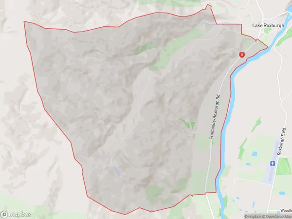
82 people live in Coal Creek Flat, Teviot Valley Community, NZCoal Creek Flat Suburb Area Map (Polygon)
Coal Creek Flat Introduction
Coal Creek Flat is a historic area located in Roxburgh, Otago, New Zealand. It was once a thriving coal mining community, but the industry declined in the 20th century, leaving behind a legacy of abandoned buildings and infrastructure. The area is now protected as a heritage park, and visitors can explore the remains of the coal mines, including the steam engine and boiler house. The park also offers scenic walks and views of the surrounding countryside.Region
Major City
Suburb Name
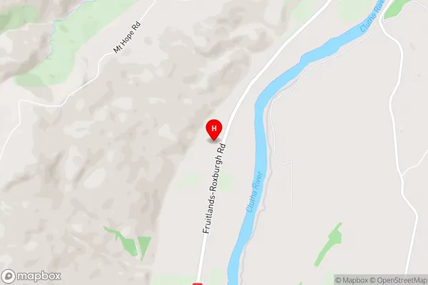
Coal Creek FlatCoal Creek Flat Area Map (Street)
Local Authority
Central Otago DistrictFull Address
Coal Creek Flat, Central Otago District, New ZealandAddress Type
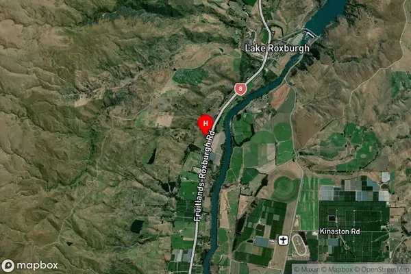
Locality in Town RoxburghCoal Creek Flat Suburb Map (Satellite)
Country
Main Region in AU
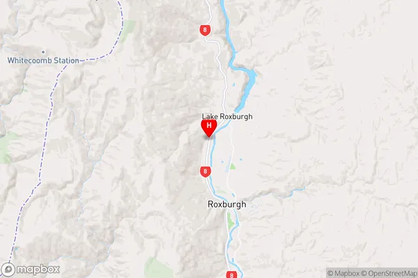
OtagoCoal Creek Flat Region Map
Coordinates
-45.4942239,169.2963123 (latitude/longitude)Distances
The distance from Coal Creek Flat, Roxburgh, Central Otago District to NZ Top 10 Cities