Dumbarton Area, Dumbarton Postcode(9500) & Map in Dumbarton
Dumbarton Area, Dumbarton Postcode(9500) & Map in Dumbarton, Central Otago District, New Zealand
Dumbarton, Central Otago District, New Zealand
Dumbarton Postcodes
Dumbarton Area (estimated)
24.6 square kilometersDumbarton Population (estimated)
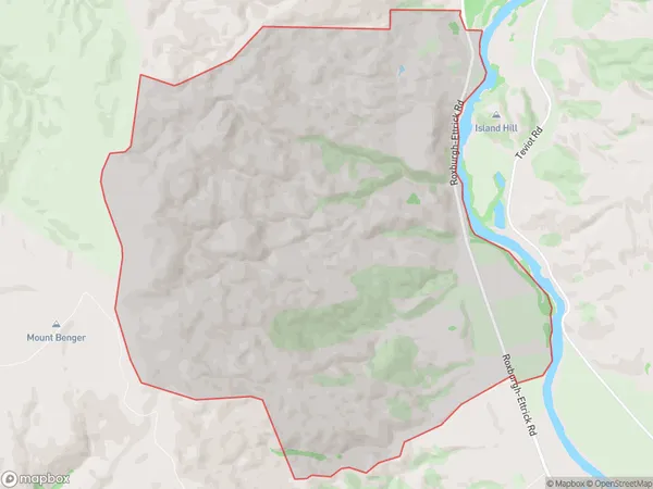
58 people live in Dumbarton, Teviot Valley Community, NZDumbarton Suburb Area Map (Polygon)
Dumbarton Introduction
Dumbarton is a small town in Roxburgh, Otago, New Zealand. It is located on the banks of the Clutha River, 12 km south of Roxburgh and 112 km north of Dunedin. The town was founded in 1860 and has a population of around 4,000 people. Dumbarton is known for its historic buildings, including the Dumbarton Castle, which is a ruin of a former castle. The town also has a golf course, a swimming pool, and a variety of shops and cafes.Region
Major City
Suburb Name
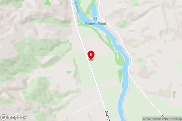
DumbartonDumbarton Area Map (Street)
Local Authority
Central Otago DistrictFull Address
Dumbarton, Central Otago District, New ZealandAddress Type
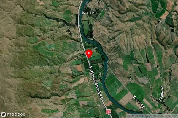
Locality in Town RoxburghDumbarton Suburb Map (Satellite)
Country
Main Region in AU
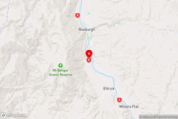
OtagoDumbarton Region Map
Coordinates
-45.5879598,169.3191004 (latitude/longitude)Distances
The distance from Dumbarton, Roxburgh, Central Otago District to NZ Top 10 Cities