Hobart Suburbs & Region, Hobart Map & Postcodes
Hobart Suburbs & Region, Hobart Map & Postcodes in Hobart, TAS, AU
Hobart Region
Region Name
Hobart (TAS, AU)Hobart Area
1695 square kilometers (1,695 ㎢)Postal Codes
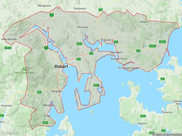
7000, 7002, from 7004 to 7011, 7015, 7016, from 7018 to 7025, from 7050 to 7053, 7055, 7170, 7171, and from 7173 to 7176 (In total, there are 31 postcodes in Hobart.)Hobart Suburb Area Map (Polygon)
Hobart Introduction
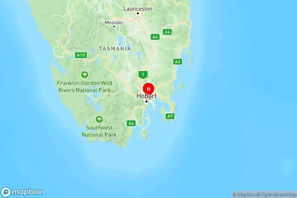
Hobart is the capital and most populous city of the Australian island state of Tasmania. It is located in the state's south-east, at the mouth of the Derwent River, about 200 km (120 mi) south of the state capital, Melbourne. Hobart is home to approximately 200,000 people and is known for its picturesque harbor, historic buildings, and vibrant cultural scene. The city is surrounded by the Mount Wellington Range and is famous for its delicious seafood, including crayfish, salmon, and scallops. Hobart also hosts a number of annual events, including the Hobart Festival of Arts and the Royal Hobart Show.Australia State
City or Big Region
Hobart Region Map
Hobart Postcodes / Zip Codes
Hobart Suburbs
Brighton
Hobart North East
Hobart North West
Hobart South and West
Hobart Inner
Sorell Dodges Ferry
Hobart full address
Hobart, Tasmania, TAS, Australia, SaCode: 601Country
Hobart, Tasmania, TAS, Australia, SaCode: 601
Hobart Suburbs & Region, Hobart Map & Postcodes has 6 areas or regions above, and there are 84 Hobart suburbs below. The sa4code for the Hobart region is 601. Its latitude and longitude coordinates are -42.842,147.374.
Hobart Suburbs & Localities
1. Bellerive
2. Acton Park
3. Dulcot
4. Lauderdale
5. Geilston Bay
6. Risdon Vale
7. Oakdowns
8. Sandford
9. South Arm
10. Opossum Bay
11. Cremorne
12. Austins Ferry
13. Goodwood
14. Derwent Park
15. Kingston
16. Huntingfield
17. Blackmans Bay
18. Bonnet Hill
19. North Hobart
20. Battery Point
21. Lenah Valley
22. Mount Nelson
23. Dynnyrne
24. Sandy Bay
25. Lewisham
26. Copping
27. Bream Creek
28. Kellevie
29. Midway Point