Huntingfield Area, Huntingfield Postcode(7055) & Map in Huntingfield, Hobart, TAS
Huntingfield Area, Huntingfield Postcode(7055) & Map in Huntingfield, Hobart, TAS, AU, Postcode: 7055
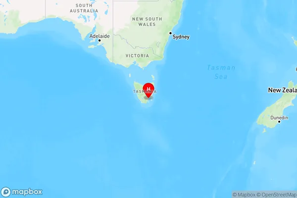
Huntingfield, Kingston - Huntingfield, Hobart - South and West, Hobart, Tasmania, Australia, 7055
Huntingfield Postcode
Area Name
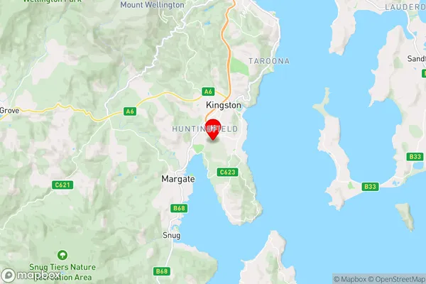
HuntingfieldHuntingfield Suburb Area Map (Polygon)

Huntingfield Introduction
Huntingfield is a suburb of Hobart, Tasmania, Australia, located approximately 10 kilometers from the city center. It is known for its scenic views, including the Mount Wellington range and the Derwent River. The suburb has a population of approximately 10,000 people and is home to a variety of businesses, including a shopping center, a hospital, and a university.State Name
City or Big Region
District or Regional Area
Suburb Name
Huntingfield Region Map
Country
Main Region in AU
R2Coordinates
-43.001318,147.2961559 (latitude/longitude)Huntingfield Area Map (Street)
Longitude
147.285203Latitude
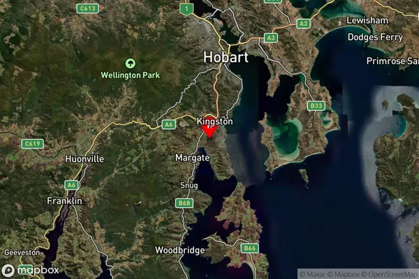
-42.994715Huntingfield Suburb Map (Satellite)
Distances
The distance from Huntingfield, Hobart, TAS to AU Greater Capital CitiesSA1 Code 2011
60104102202SA1 Code 2016
60104102202SA2 Code
601041022SA3 Code
60104SA4 Code
601RA 2011
2RA 2016
2MMM 2015
2MMM 2019
2Charge Zone
T1LGA Region
HobartLGA Code
62810Electorate
Franklin