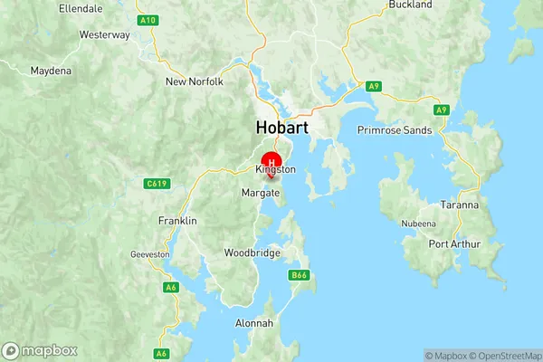
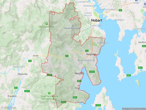
Hobart South and West Suburbs & Region, Hobart South and West Map & Postcodes
Hobart South and West Suburbs & Region, Hobart South and West Map & Postcodes in Hobart South and West, Hobart, TAS, AU
Hobart South and West Region
Region Name
Hobart South and West (TAS, AU)Hobart South and West Area
328.51 square kilometers (328.51 ㎢)Postal Codes
7052, 7053, and 7055 (In total, there are 3 postcodes in Hobart South and West.)Hobart South and West Introduction
Hobart South and West is a suburb of Hobart, Tasmania, Australia. It is located in the state's south-east and is part of the City of Hobart local government area. The suburb is home to a variety of amenities, including a shopping center, a hospital, and several parks. It is also home to a number of historic buildings, including the Hobart Aquatic Centre and the Hobart Showground. The suburb is well-connected to the rest of Hobart via public transportation, and is located within walking distance of the city center.Australia State
City or Big Region
District or Regional Area
Hobart South and West Region Map

Hobart South and West Postcodes / Zip Codes
Hobart South and West Suburbs
Kingston Huntingfield
Taroona Bonnet Hill
Hobart South and West full address
Hobart South and West, Hobart, Tasmania, TAS, Australia, SaCode: 60104Country
Hobart South and West, Hobart, Tasmania, TAS, Australia, SaCode: 60104
Hobart South and West Suburbs & Region, Hobart South and West Map & Postcodes has 2 areas or regions above, and there are 4 Hobart South and West suburbs below. The sa3code for the Hobart South and West region is 60104. Its latitude and longitude coordinates are -43.0013,147.296.
Hobart South and West Suburbs & Localities
1. Bonnet Hill
2. Huntingfield
3. Blackmans Bay
4. Taroona
