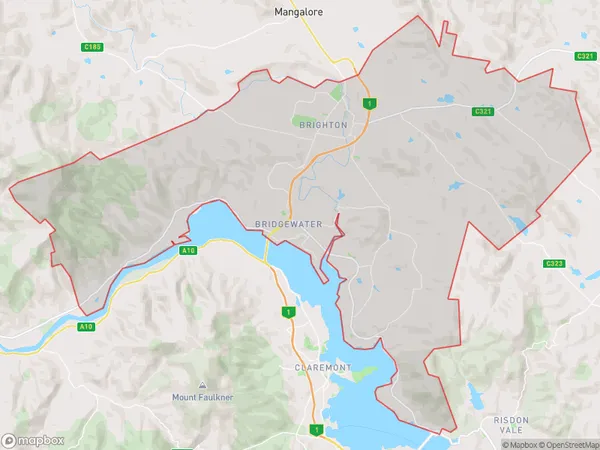
Brighton Suburbs & Region, Brighton Map & Postcodes
Brighton Suburbs & Region, Brighton Map & Postcodes in Brighton, Hobart, TAS, AU
Brighton Region
Region Name
Brighton (TAS, AU)Brighton Area
176.08 square kilometers (176.08 ㎢)Brighton Introduction
Brighton is a suburb of Hobart, Tasmania, Australia. It is located on the eastern shore of the Derwent River, about 5 km from the central business district of Hobart. The suburb has a population of around 2,500 people and is known for its beautiful beaches, parks, and recreational facilities. Brighton is also home to a number of historic buildings, including the Brighton Post Office, which was built in 1838. The suburb is surrounded by natural beauty, with the Mount Wellington Range to the north and the Tasmanian Devil Conservation Park to the south. It is a popular destination for tourists and locals alike, with many visitors enjoying the beach, walking trails, and local cafes and restaurants.Australia State
City or Big Region
Greater Capital City
Greater Hobart (6GHOB)District or Regional Area
Brighton Suburbs
Brighton full address
Brighton, Hobart, Tasmania, TAS, Australia, SaCode: 60101Country
Brighton, Hobart, Tasmania, TAS, Australia, SaCode: 60101
Brighton Suburbs & Region, Brighton Map & Postcodes has 0 areas or regions above, and there are 0 Brighton suburbs below. The sa3code for the Brighton region is 60101. Brighton area belongs to Australia's greater capital city Greater Hobart.
