Midway Point Area, Midway Point Postcode(7171) & Map in Midway Point, Hobart, TAS
Midway Point Area, Midway Point Postcode(7171) & Map in Midway Point, Hobart, TAS, AU, Postcode: 7171
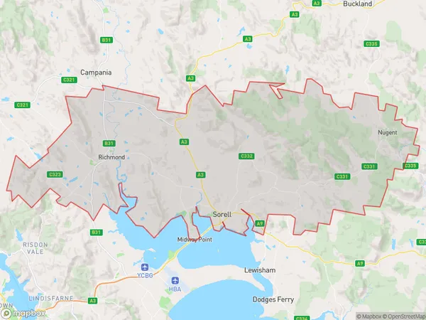
Midway Point, Sorell - Richmond, Sorell - Dodges Ferry, Hobart, Tasmania, Australia, 7171
Midway Point Postcode
Area Name
Midway PointMidway Point Suburb Area Map (Polygon)
Midway Point Introduction
Midway Point is a suburb of Hobart, Tasmania, Australia, located on the eastern shore of the Derwent River. It is known for its scenic views, including Mount Wellington and the Tasman Peninsula. The suburb has a population of approximately 10,000 people and is home to several schools, parks, and recreational facilities.State Name
City or Big Region
District or Regional Area
Suburb Name
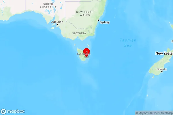
Midway Point Region Map
Country
Main Region in AU
R2Coordinates
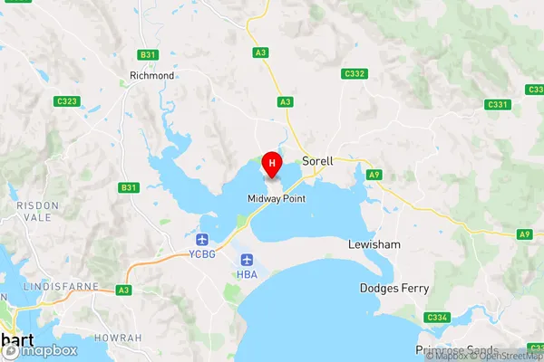
-42.7940435,147.5293172 (latitude/longitude)Midway Point Area Map (Street)
Longitude
147.488282Latitude
-42.78011Midway Point Elevation
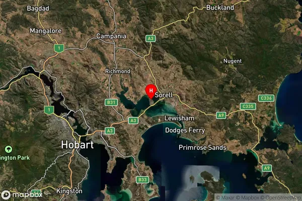
about 157.21 meters height above sea level (Altitude)Midway Point Suburb Map (Satellite)
Distances
The distance from Midway Point, Hobart, TAS to AU Greater Capital CitiesSA1 Code 2011
60106103519SA1 Code 2016
60106103519SA2 Code
601061035SA3 Code
60106SA4 Code
601RA 2011
2RA 2016
2MMM 2015
2MMM 2019
2Charge Zone
T1LGA Region
ClarenceLGA Code
61410Electorate
Lyons