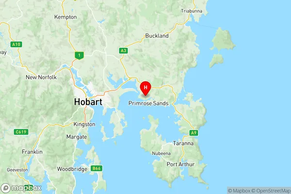
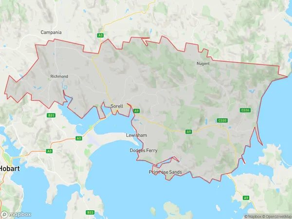
Sorell Dodges Ferry Suburbs & Region, Sorell Dodges Ferry Map & Postcodes
Sorell Dodges Ferry Suburbs & Region, Sorell Dodges Ferry Map & Postcodes in Sorell Dodges Ferry, Hobart, TAS, AU
Sorell Dodges Ferry Region
Region Name
Sorell Dodges Ferry (TAS, AU)Sorell Dodges Ferry Area
694.33 square kilometers (694.33 ㎢)Postal Codes
7025, 7171, and from 7173 to 7176 (In total, there are 6 postcodes in Sorell Dodges Ferry.)Sorell Dodges Ferry Introduction
Sorell Dodges Ferry is a historic ferry service that operated between Hobart, Tasmania, and Sorell, on the eastern shore of the Derwent River. The service was established in 1832 and operated until 1988, when it was replaced by a bridge. The ferry was a vital link for the transportation of goods and people between Hobart and the eastern suburbs of the city, and it played a significant role in the development of the region. The ferry was named after John Sorell, a prominent businessman and politician who was instrumental in the establishment of the service. The ferry was a wooden vessel that could carry up to 100 passengers and 20 cars. It operated on a fixed schedule, with departures every 30 minutes during the day and every 60 minutes at night. The ferry service was a popular attraction for tourists and locals alike, and it provided a unique view of the city and the surrounding landscape. The ferry was also a vital transportation link for the military during World War II, as it was used to transport troops and supplies to and from the island. Today, the ferry is a popular tourist attraction and is listed on the Australian National Heritage List. It is located in the historic Sorell Precinct, which is a popular area for visitors to explore. The ferry is also used as a venue for events and functions, such as weddings and concerts.Australia State
City or Big Region
District or Regional Area
Sorell Dodges Ferry Region Map

Sorell Dodges Ferry Postcodes / Zip Codes
Sorell Dodges Ferry Suburbs
Sorell Dodges Ferry full address
Sorell Dodges Ferry, Hobart, Tasmania, TAS, Australia, SaCode: 60106Country
Sorell Dodges Ferry, Hobart, Tasmania, TAS, Australia, SaCode: 60106
Sorell Dodges Ferry Suburbs & Region, Sorell Dodges Ferry Map & Postcodes has 1 areas or regions above, and there are 15 Sorell Dodges Ferry suburbs below. The sa3code for the Sorell Dodges Ferry region is 60106. Its latitude and longitude coordinates are -42.8623,147.653.
Sorell Dodges Ferry Suburbs & Localities
1. Midway Point
2. Penna
3. Lewisham
4. Carlton River
5. Forcett
6. Copping
7. Bream Creek
8. Kellevie
9. Dulcot
10. Richmond
11. Carlton
12. Connellys Marsh
13. Dodges Ferry
14. Marion Bay
15. Primrose Sands
