Carlton Area, Carlton Postcode(7173) & Map in Carlton, Hobart, TAS
Carlton Area, Carlton Postcode(7173) & Map in Carlton, Hobart, TAS, AU, Postcode: 7173
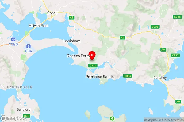
Carlton, Dodges Ferry - Lewisham, Sorell - Dodges Ferry, Hobart, Tasmania, Australia, 7173
Carlton Postcode
Area Name
CarltonCarlton Suburb Area Map (Polygon)

Carlton Introduction
Carlton is a suburb of Hobart, Tasmania, Australia, located on the eastern shore of the Derwent River. It is known for its historic buildings, including the Royal Hobart Hospital and the State Library of Tasmania. Carlton is also home to the University of Tasmania and the Tasmanian Museum and Art Gallery.State Name
City or Big Region
District or Regional Area
Suburb Name
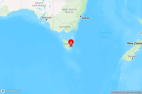
Carlton Region Map
Country
Main Region in AU
R2Coordinates
-42.8623184,147.6525319 (latitude/longitude)Carlton Area Map (Street)
Longitude
147.630737Latitude
-42.823649Carlton Elevation
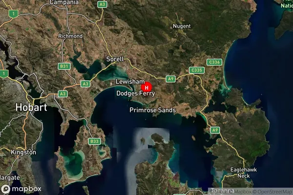
about 77.85 meters height above sea level (Altitude)Carlton Suburb Map (Satellite)
Distances
The distance from Carlton, Hobart, TAS to AU Greater Capital CitiesSA1 Code 2011
60106103414SA1 Code 2016
60106103414SA2 Code
601061034SA3 Code
60106SA4 Code
601RA 2011
3RA 2016
3MMM 2015
5MMM 2019
5Charge Zone
T1LGA Region
SorellLGA Code
64810Electorate
Lyons