Bream Creek Area, Bream Creek Postcode(7175) & Map in Bream Creek, Hobart, TAS
Bream Creek Area, Bream Creek Postcode(7175) & Map in Bream Creek, Hobart, TAS, AU, Postcode: 7175
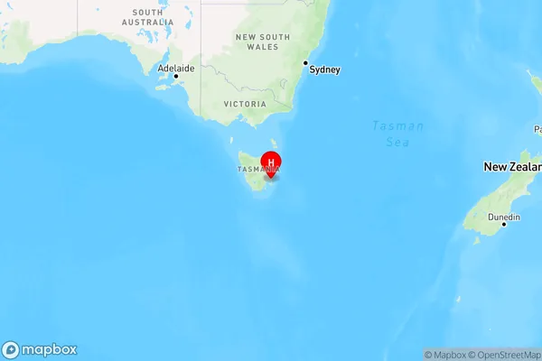
Bream Creek, Dodges Ferry - Lewisham, Sorell - Dodges Ferry, Hobart, Tasmania, Australia, 7175
Bream Creek Postcode
Area Name
Bream CreekBream Creek Suburb Area Map (Polygon)

Bream Creek Introduction
Bream Creek is a suburb of Hobart, Tasmania, Australia, located on the eastern shore of the Derwent River. It is known for its scenic beauty, including the Bream Creek Conservation Area and the Bream Creek Golf Course. The suburb has a population of approximately 7,000 people and is home to a variety of businesses, including a supermarket, a pharmacy, and a medical center.State Name
City or Big Region
District or Regional Area
Suburb Name
Bream Creek Region Map
Country
Main Region in AU
R2Coordinates
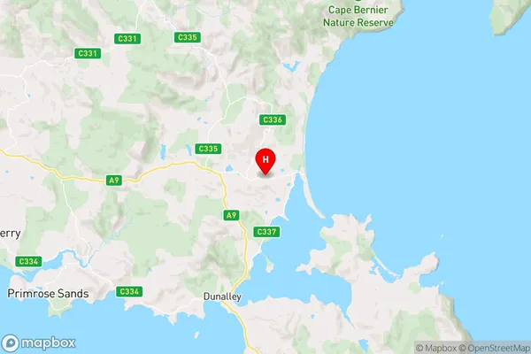
-42.8218975,147.8382502 (latitude/longitude)Bream Creek Area Map (Street)
Longitude
147.828594Latitude
-42.818606Bream Creek Elevation
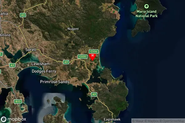
about 109.00 meters height above sea level (Altitude)Bream Creek Suburb Map (Satellite)
Distances
The distance from Bream Creek, Hobart, TAS to AU Greater Capital CitiesSA1 Code 2011
60106103406SA1 Code 2016
60106103406SA2 Code
601061034SA3 Code
60106SA4 Code
601RA 2011
3RA 2016
3MMM 2015
5MMM 2019
5Charge Zone
T1LGA Region
SorellLGA Code
64810Electorate
Lyons