Sandy Bay Area, Sandy Bay Postcode(7006) & Map in Sandy Bay, Hobart, TAS
Sandy Bay Area, Sandy Bay Postcode(7006) & Map in Sandy Bay, Hobart, TAS, AU, Postcode: 7006
Sandy Bay, Sandy Bay, Hobart Inner, Hobart, Tasmania, Australia, 7006
Sandy Bay Postcode
Area Name
Sandy BaySandy Bay Suburb Area Map (Polygon)

Sandy Bay Introduction
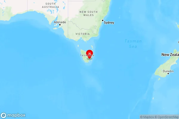
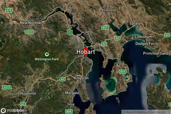
Sandy Bay is a suburb of Hobart, Tasmania, Australia, located on the eastern shore of the Derwent River. It is known for its sandy beaches, scenic walks, and historic buildings, including the Sandy Bay Yacht Club and the Sandy Bay Cemetery.State Name
City or Big Region
District or Regional Area
Suburb Name
Sandy Bay Region Map
Country
Main Region in AU
R2Coordinates
-42.901,147.327 (latitude/longitude)Sandy Bay Area Map (Street)
Not available for nowLongitude
147.344395Latitude
-42.908108Sandy Bay Suburb Map (Satellite)
Distances
The distance from Sandy Bay, Hobart, TAS to AU Greater Capital CitiesSA1 Code 2011
60105103116SA1 Code 2016
60105103116SA2 Code
601051031SA3 Code
60105SA4 Code
601RA 2011
2RA 2016
2MMM 2015
2MMM 2019
2Charge Zone
T1LGA Region
HobartLGA Code
62810Electorate
Franklin