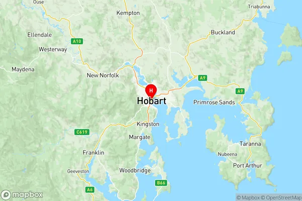
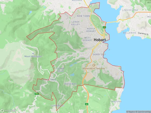
Hobart Inner Suburbs & Region, Hobart Inner Map & Postcodes
Hobart Inner Suburbs & Region, Hobart Inner Map & Postcodes in Hobart Inner, Hobart, TAS, AU
Hobart Inner Region
Region Name
Hobart Inner (TAS, AU)Hobart Inner Area
62.21 square kilometers (62.21 ㎢)Postal Codes
7000, 7002, from 7004 to 7008, 7050, and 7051 (In total, there are 9 postcodes in Hobart Inner.)Hobart Inner Introduction
Hobart Inner is a suburb of Hobart, Tasmania, Australia. It is located in the city's inner-west and is known for its historic homes, gardens, and cafes. The suburb is home to many of Hobart's cultural institutions, including the Museum of Old and New Art (MONA) and the Tasmanian Museum and Art Gallery. Hobart Inner is also home to a number of parks and recreational facilities, including the Hobart Botanical Gardens and the Royal Tasmanian Botanical Gardens. The suburb is well-connected to the rest of the city by public transport, with a number of bus routes and a ferry terminal located nearby.Australia State
City or Big Region
District or Regional Area
Hobart Inner Region Map

Hobart Inner Postcodes / Zip Codes
Hobart Inner Suburbs
Lenah Valley Mount Stuart
Mount Nelson Dynnyrne
West Hobart
Hobart Inner full address
Hobart Inner, Hobart, Tasmania, TAS, Australia, SaCode: 60105Country
Hobart Inner, Hobart, Tasmania, TAS, Australia, SaCode: 60105
Hobart Inner Suburbs & Region, Hobart Inner Map & Postcodes has 5 areas or regions above, and there are 24 Hobart Inner suburbs below. The sa3code for the Hobart Inner region is 60105. Its latitude and longitude coordinates are -42.8811,147.325.
Hobart Inner Suburbs & Localities
1. North Hobart
2. West Hobart
3. Battery Point
4. Lower Sandy Bay
5. Sandy Bay
6. Cornelian Bay
7. Lenah Valley
8. New Town
9. Kingston
10. Queens Domain
11. Glebe
12. Mount Stuart
13. University Of Tasmania
14. Mount Nelson
15. Kingston Beach
16. Kingston
17. Bathurst Street Po
18. Hobart
19. North Hobart
20. South Hobart
21. Dynnyrne
22. Sandy Bay
23. Tolmans Hill
24. Albion Heights
