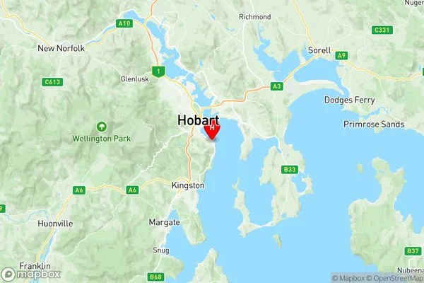
Sandy Bay Suburbs & Region, Sandy Bay Map & Postcodes
Sandy Bay Suburbs & Region, Sandy Bay Map & Postcodes in Sandy Bay, Hobart Inner, Hobart, TAS, AU
Sandy Bay Region
Region Name
Sandy Bay (TAS, AU)Sandy Bay Area
6.95 square kilometers (6.95 ㎢)Sandy Bay Introduction
Sandy Bay is a suburb of Hobart, Tasmania, Australia. It is located on the eastern shore of the Derwent River, about 5 km south of the city center. The suburb is known for its sandy beaches, scenic views, and popular recreational areas. It is home to a number of historic buildings, including the Sandy Bay Village Shopping Center and the Sandy Bay Yacht Club. Sandy Bay is also a popular destination for water sports enthusiasts, with a number of boat ramps and marinas in the area.Australia State
City or Big Region
Greater Capital City
Greater Hobart (6GHOB)District or Regional Area
Suburb Name
Sandy Bay Region Map

Sandy Bay Suburbs
Sandy Bay full address
Sandy Bay, Hobart Inner, Hobart, Tasmania, TAS, Australia, SaCode: 601051031Country
Sandy Bay, Hobart Inner, Hobart, Tasmania, TAS, Australia, SaCode: 601051031
Sandy Bay Suburbs & Region, Sandy Bay Map & Postcodes has 0 areas or regions above, and there are 0 Sandy Bay suburbs below. The sa2code for the Sandy Bay region is 601051031. Its latitude and longitude coordinates are -42.9128,147.355. Sandy Bay area belongs to Australia's greater capital city Greater Hobart.
