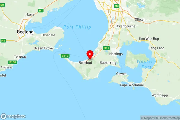
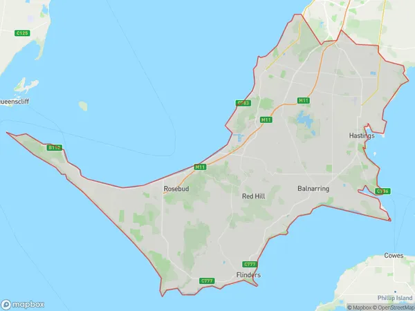
Mornington Peninsula Suburbs & Region, Mornington Peninsula Map & Postcodes
Mornington Peninsula Suburbs & Region, Mornington Peninsula Map & Postcodes in Mornington Peninsula, VIC, AU
Mornington Peninsula Region
Region Name
Mornington Peninsula (VIC, AU)Mornington Peninsula Area
724.17 square kilometers (724.17 ㎢)Postal Codes
3199, from 3911 to 3913, 3915, 3916, from 3918 to 3920, from 3926 to 3931, 3933, 3934, and from 3936 to 3944 (In total, there are 26 postcodes in Mornington Peninsula.)Mornington Peninsula Introduction
The Mornington Peninsula is a 90-kilometer-long peninsula located southeast of Melbourne, Victoria, Australia. It is known for its scenic beaches, vineyards, and hinterland forests. The peninsula is home to a diverse range of wildlife, including koalas, wallabies, and echidnas. It is also a popular destination for outdoor activities such as hiking, cycling, and fishing. The region is home to several towns, including Mount Martha, Mornington, and Frankston, which offer a variety of shopping, dining, and entertainment options. The Mornington Peninsula is also known for its many wineries and restaurants, which produce a range of wines and cuisines.Australia State
City or Big Region
District or Regional Area
Mornington Peninsula Region Map

Mornington Peninsula Postcodes / Zip Codes
Mornington Peninsula Suburbs
Frankston South
Hastings Somers
Mount Eliza
Mount Martha
Point Nepean
Rosebud McCrae
Mornington East
Mornington West
Mornington Peninsula full address
Mornington Peninsula, Victoria, VIC, Australia, SaCode: 21402Country
Mornington Peninsula, Victoria, VIC, Australia, SaCode: 21402
Mornington Peninsula Suburbs & Region, Mornington Peninsula Map & Postcodes has 14 areas or regions above, and there are 51 Mornington Peninsula suburbs below. The sa3code for the Mornington Peninsula region is 21402. Its latitude and longitude coordinates are -38.352,144.953.
Mornington Peninsula Suburbs & Localities
1. Frankston
2. Frankston Heights
3. Frankston East
4. Karingal Centre
5. Frankston South
6. Karingal
7. Baxter
8. Langwarrin South
9. Pearcedale
10. Tyabb
11. Merricks
12. Balnarring Beach
13. Merricks North
14. Kunyung
15. Tuerong
16. Point Leo
17. Hmas Cerberus
18. Flinders
19. Mount Eliza
20. Mount Martha
21. Arthurs Seat
22. Rosebud
23. Capel Sound
24. Blairgowrie
25. Portsea
26. Mornington
27. Safety Beach
28. Red Hill
29. Mccrae
30. Cape Schanck
31. Fingal
32. Rosebud West
33. St Andrews Beach
34. Balnarring
35. Merricks Beach
36. Somers
37. Moorooduc
38. Dromana
39. Somerville
40. Hastings
41. Shoreham
42. Bittern
43. Crib Point
44. Rosebud Plaza
45. Sorrento
46. Flinders Naval Depot
47. Main Ridge
48. Red Hill South
49. Boneo
50. Rye
51. Tootgarook
