Hastings Area, Hastings Postcode(3915) & Map in Hastings, Mornington Peninsula, VIC
Hastings Area, Hastings Postcode(3915) & Map in Hastings, Mornington Peninsula, VIC, AU, Postcode: 3915
Hastings, Hastings - Somers, Mornington Peninsula, Mornington Peninsula, Victoria, Australia, 3915
Hastings Postcode
Area Name
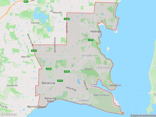
HastingsHastings Suburb Area Map (Polygon)
Hastings Introduction
Hastings is a coastal town on the Mornington Peninsula in Victoria, Australia, known for its beaches, wineries, and scenic drives. It is home to the historic Hastings Pier and the Mornington Peninsula National Park.State Name
City or Big Region
District or Regional Area
Suburb Name
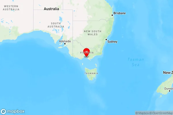
Hastings Region Map
Country
Main Region in AU
R3Coordinates
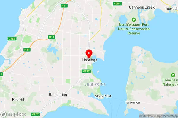
-38.306,145.189 (latitude/longitude)Hastings Area Map (Street)
Longitude
145.136622Latitude
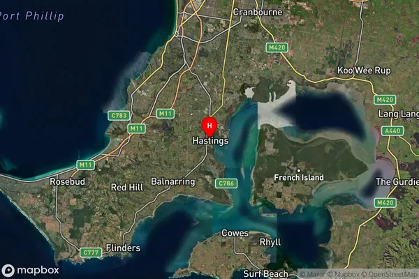
-38.305806Hastings Suburb Map (Satellite)
Distances
The distance from Hastings, Mornington Peninsula, VIC to AU Greater Capital CitiesSA1 Code 2011
21402137903SA1 Code 2016
21402137903SA2 Code
214021379SA3 Code
21402SA4 Code
214RA 2011
1RA 2016
1MMM 2015
1MMM 2019
1Charge Zone
V1LGA Region
Mornington PeninsulaLGA Code
25340Electorate
Flinders