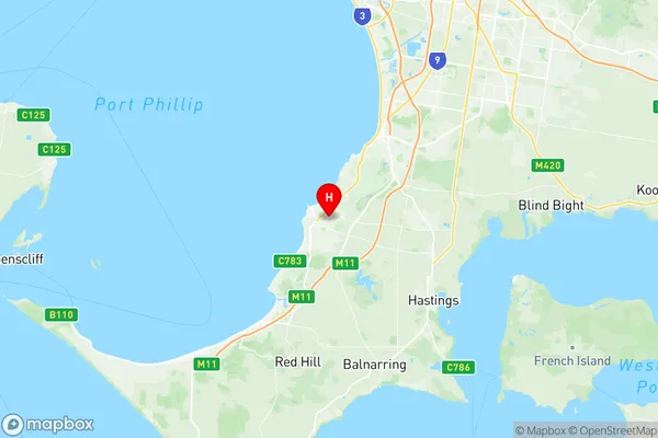
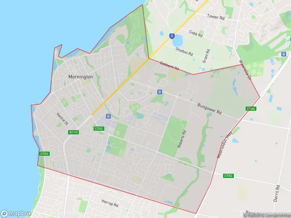
Mornington Suburbs & Region, Mornington Map & Postcodes
Mornington Suburbs & Region, Mornington Map & Postcodes in Mornington, Mornington Peninsula, VIC, AU
Mornington Region
Region Name
Mornington (VIC, AU)Postal Codes
3931 (In total, there are 1 postcodes in Mornington.)Mornington Introduction
Mornington is a suburb of Melbourne, Victoria, Australia, 10 km south-east of Melbourne's central business district. Its local government area is the City of Mornington Peninsula. At the 2016 census, Mornington had a population of 30,640. Mornington is well known for its beaches, wineries, and restaurants. The suburb has a number of parks and recreational facilities, including the Mornington Peninsula National Park, which covers over 1000 hectares of land and is home to a variety of wildlife. The suburb is also home to a number of golf courses, including the Mornington Golf Club, which is one of the oldest golf clubs in Australia.Australia State
City or Big Region
District or Regional Area
Suburb Name
Mornington Region Map

Mornington Postcodes / Zip Codes
Mornington Suburbs
Mornington full address
Mornington, Mornington Peninsula, Victoria, VIC, Australia, SaCode: 214021380Country
Mornington, Mornington Peninsula, Victoria, VIC, Australia, SaCode: 214021380
Mornington Suburbs & Region, Mornington Map & Postcodes has 0 areas or regions above, and there are 1 Mornington suburbs below. The sa2code for the Mornington region is 214021380. Its latitude and longitude coordinates are -38.2277,145.06.
Mornington Suburbs & Localities
1. Mornington
