Frankston Suburbs & Region, Frankston Map & Postcodes
Frankston Suburbs & Region, Frankston Map & Postcodes in Frankston, Mornington Peninsula, VIC, AU
Frankston Region
Region Name
Frankston (VIC, AU)Frankston Area
11.62 square kilometers (11.62 ㎢)Frankston Suburb Area Map (Polygon)

Frankston Introduction
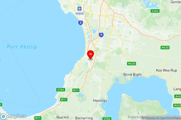
Frankston is a suburb of Melbourne, located on the Mornington Peninsula in Victoria, Australia. It is known for its beaches, parks, and recreational facilities, including the Frankston Arts Centre and the Peninsula Hot Springs. Frankston has a population of over 30,000 people and is a popular destination for tourists and locals alike. The suburb has a diverse range of housing options, from apartments to houses, and is well-serviced by public transport. Frankston is also home to several schools, including Frankston High School and Frankston Primary School.Australia State
City or Big Region
Greater Capital City
Greater Melbourne (2GMEL)District or Regional Area
Suburb Name
Frankston Region Map
Frankston Suburbs
Frankston full address
Frankston, Mornington Peninsula, Victoria, VIC, Australia, SaCode: 214011371Country
Frankston, Mornington Peninsula, Victoria, VIC, Australia, SaCode: 214011371
Frankston Suburbs & Region, Frankston Map & Postcodes has 0 areas or regions above, and there are 0 Frankston suburbs below. The sa2code for the Frankston region is 214011371. Its latitude and longitude coordinates are -38.162,145.147. Frankston area belongs to Australia's greater capital city Greater Melbourne.