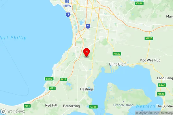
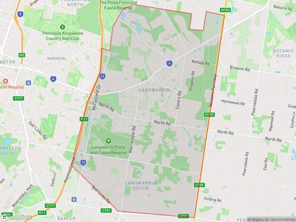
Langwarrin Suburbs & Region, Langwarrin Map & Postcodes
Langwarrin Suburbs & Region, Langwarrin Map & Postcodes in Langwarrin, Mornington Peninsula, VIC, AU
Langwarrin Region
Region Name
Langwarrin (VIC, AU)Langwarrin Area
37.62 square kilometers (37.62 ㎢)Postal Codes
3910, and 3911 (In total, there are 2 postcodes in Langwarrin.)Langwarrin Introduction
Langwarrin is a suburb of Melbourne, Victoria, Australia. It is located in the City of Casey local government area. Langwarrin is approximately 27 kilometers southeast of Melbourne's central business district. The post office opened as Langwarrin on 1 July 1916 and was closed on 1 February 1974. The name Langwarrin is derived from an Aboriginal word meaning "by the side of a waterhole". The suburb has a variety of shops, including a supermarket, pharmacy, and several cafes. There are also several parks and recreational facilities, including a golf course and a cricket club. Langwarrin is home to several schools, including Langwarrin Primary School and Langwarrin Secondary College. The suburb is also well-connected to public transport, with several bus routes and a train station located within walking distance.Australia State
City or Big Region
Greater Capital City
Greater Melbourne (2GMEL)District or Regional Area
Suburb Name
Langwarrin Region Map

Langwarrin Postcodes / Zip Codes
Langwarrin Suburbs
Langwarrin full address
Langwarrin, Mornington Peninsula, Victoria, VIC, Australia, SaCode: 214011374Country
Langwarrin, Mornington Peninsula, Victoria, VIC, Australia, SaCode: 214011374
Langwarrin Suburbs & Region, Langwarrin Map & Postcodes has 0 areas or regions above, and there are 2 Langwarrin suburbs below. The sa2code for the Langwarrin region is 214011374. Its latitude and longitude coordinates are -38.189,145.189. Langwarrin area belongs to Australia's greater capital city Greater Melbourne.
Langwarrin Suburbs & Localities
1. Langwarrin
2. Langwarrin South
