Langwarrin Area, Langwarrin Postcode(3910) & Map in Langwarrin, Mornington Peninsula, VIC
Langwarrin Area, Langwarrin Postcode(3910) & Map in Langwarrin, Mornington Peninsula, VIC, AU, Postcode: 3910
Langwarrin, Langwarrin, Frankston, Mornington Peninsula, Victoria, Australia, 3910
Langwarrin Postcode
Area Name
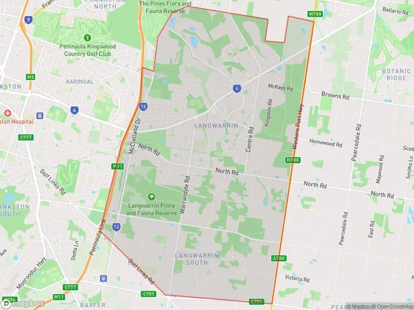
LangwarrinLangwarrin Suburb Area Map (Polygon)

Langwarrin Introduction
Langwarrin is a suburb of Melbourne, Victoria, Australia. It is located in the City of Frankston local government area. The postcode for Langwarrin is 3910. Langwarrin is approximately 37 kilometers southeast of Melbourne's central business district. It is bordered by Dandenong Creek, the Mornington Peninsula Freeway, and the Frankston-Dandenong railway line. Langwarrin has a variety of shops, cafes, and restaurants, as well as a medical center and a library. The suburb also has several parks and recreational facilities, including a golf course and an aquatic center.State Name
City or Big Region
District or Regional Area
Suburb Name
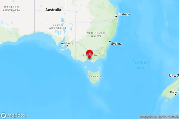
Langwarrin Region Map

Country
Main Region in AU
R1Coordinates
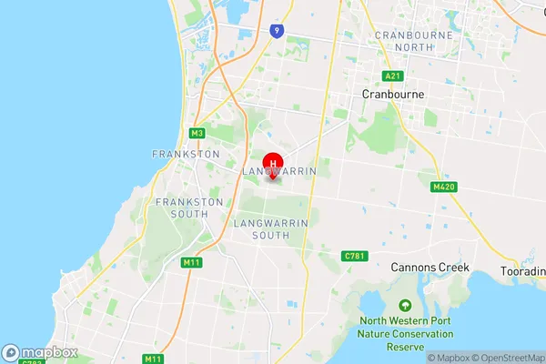
-38.1608986,145.1927835 (latitude/longitude)Langwarrin Area Map (Street)

Longitude
145.198328Latitude
-38.156369Langwarrin Elevation
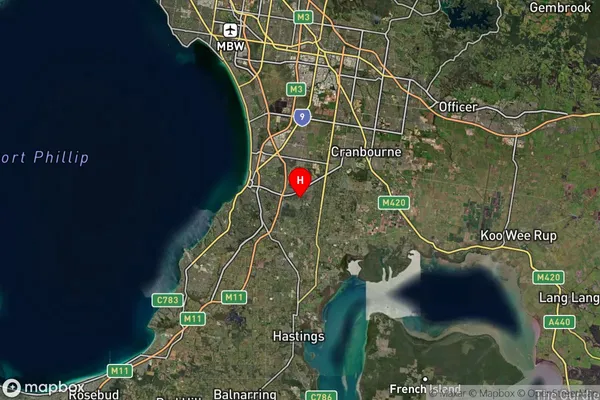
about 75.44 meters height above sea level (Altitude)Langwarrin Suburb Map (Satellite)

Distances
The distance from Langwarrin, Mornington Peninsula, VIC to AU Greater Capital CitiesSA1 Code 2011
21401137448SA1 Code 2016
21401137448SA2 Code
214011374SA3 Code
21401SA4 Code
214RA 2011
1RA 2016
1MMM 2015
1MMM 2019
1Charge Zone
V1LGA Region
FrankstonLGA Code
22170Electorate
Dunkley