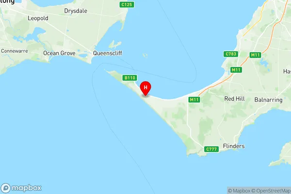
Point Nepean Suburbs & Region, Point Nepean Map & Postcodes
Point Nepean Suburbs & Region, Point Nepean Map & Postcodes in Point Nepean, Mornington Peninsula, VIC, AU
Point Nepean Region
Region Name
Point Nepean (VIC, AU)Point Nepean Area
67.19 square kilometers (67.19 ㎢)Postal Codes
3939, and from 3941 to 3944 (In total, there are 5 postcodes in Point Nepean.)Point Nepean Introduction
Point Nepean is a suburb of Melbourne, Victoria, Australia, located 9 km south-east of Melbourne's central business district. It is named after the Point Nepean Lighthouse, which was built in 1859 and is one of the oldest lighthouses in Australia. The suburb has a population of around 11,000 people and is known for its beautiful beaches, parks, and recreational facilities. It is also home to the Point Nepean National Park, which covers over 100 hectares of coastal land and includes the historic Point Nepean Quarantine Station. The area is popular with tourists and locals alike and is a great place to enjoy the outdoors and relax.Australia State
City or Big Region
Greater Capital City
Greater Melbourne (2GMEL)District or Regional Area
Suburb Name
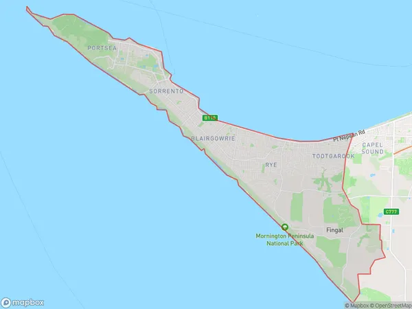
Point Nepean Region Map

Point Nepean Postcodes / Zip Codes
Point Nepean Suburbs
Point Nepean full address
Point Nepean, Mornington Peninsula, Victoria, VIC, Australia, SaCode: 214021383Country
Point Nepean, Mornington Peninsula, Victoria, VIC, Australia, SaCode: 214021383
Point Nepean Suburbs & Region, Point Nepean Map & Postcodes has 0 areas or regions above, and there are 7 Point Nepean suburbs below. The sa2code for the Point Nepean region is 214021383. Its latitude and longitude coordinates are -38.3646,144.769. Point Nepean area belongs to Australia's greater capital city Greater Melbourne.
Point Nepean Suburbs & Localities
1. Blairgowrie
2. Portsea
3. Fingal
4. St Andrews Beach
5. Sorrento
6. Rye
7. Tootgarook
