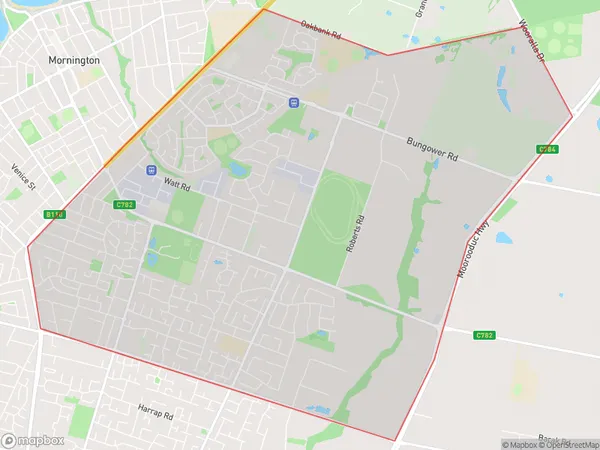
Mornington East Suburbs & Region, Mornington East Map & Postcodes
Mornington East Suburbs & Region, Mornington East Map & Postcodes in Mornington East, Mornington Peninsula, VIC, AU
Mornington East Region
Region Name
Mornington East (VIC, AU)Mornington East Area
14.69 square kilometers (14.69 ㎢)Mornington East Introduction
Mornington East is a suburb of Melbourne, Victoria, Australia, 11 km southeast of Melbourne's central business district. Its local government area is the City of Mornington Peninsula. At the 2016 Census, Mornington East had a population of 10,663. Mornington East is bounded by Dandenong Creek, Frankston-Flinders Road, Nepean Highway, and the Mornington Peninsula Freeway. The suburb has a variety of shops, cafes, and restaurants, as well as a medical center and a library. There are several parks and recreational facilities in the area, including the Mornington Peninsula National Park and the Mornington Peninsula Golf Club. Mornington East is a popular destination for tourists and locals alike, with its beautiful beaches, scenic walking trails, and vibrant community. The suburb is also home to several wineries and breweries, making it a popular spot for wine and beer enthusiasts.Australia State
City or Big Region
Greater Capital City
Greater Melbourne (2GMEL)District or Regional Area
Suburb Name
Mornington East Suburbs
Mornington East full address
Mornington East, Mornington Peninsula, Victoria, VIC, Australia, SaCode: 214021591Country
Mornington East, Mornington Peninsula, Victoria, VIC, Australia, SaCode: 214021591
Mornington East Suburbs & Region, Mornington East Map & Postcodes has 0 areas or regions above, and there are 0 Mornington East suburbs below. The sa2code for the Mornington East region is 214021591. Mornington East area belongs to Australia's greater capital city Greater Melbourne.
