Rosebud McCrae Suburbs & Region, Rosebud McCrae Map & Postcodes
Rosebud McCrae Suburbs & Region, Rosebud McCrae Map & Postcodes in Rosebud McCrae, Mornington Peninsula, VIC, AU
Rosebud McCrae Region
Region Name
Rosebud McCrae (VIC, AU)Rosebud McCrae Area
23.8 square kilometers (23.8 ㎢)Postal Codes
from 3938 to 3940 (In total, there are 3 postcodes in Rosebud McCrae.)Rosebud McCrae Introduction
Rosebud McCrae is a small township on the Mornington Peninsula in Victoria, Australia. It is located in the Shire of Mornington Peninsula and is about 45 kilometers southeast of Melbourne. The town is named after Rosebud Creek, which flows through it, and was originally settled by farmers in the 1880s. Today, Rosebud McCrae is a popular tourist destination known for its beaches, wineries, and golf courses. It is also home to a number of historic buildings, including the Rosebud Hotel and the Rosebud Railway Station.Australia State
City or Big Region
Greater Capital City
Greater Melbourne (2GMEL)District or Regional Area
Suburb Name
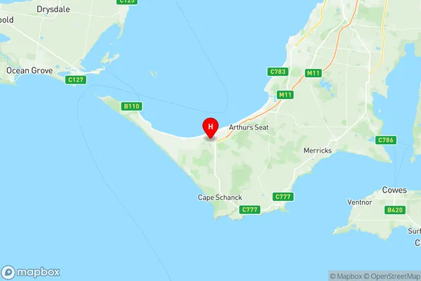
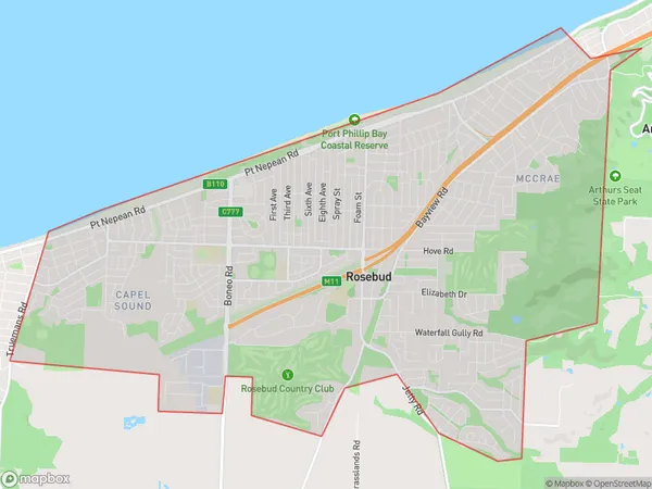
Rosebud McCrae Region Map

Rosebud McCrae Postcodes / Zip Codes
Rosebud McCrae Suburbs
Rosebud McCrae full address
Rosebud McCrae, Mornington Peninsula, Victoria, VIC, Australia, SaCode: 214021384Country
Rosebud McCrae, Mornington Peninsula, Victoria, VIC, Australia, SaCode: 214021384
Rosebud McCrae Suburbs & Region, Rosebud McCrae Map & Postcodes has 0 areas or regions above, and there are 5 Rosebud McCrae suburbs below. The sa2code for the Rosebud McCrae region is 214021384. Its latitude and longitude coordinates are -38.3745,144.879. Rosebud McCrae area belongs to Australia's greater capital city Greater Melbourne.
Rosebud McCrae Suburbs & Localities
1. Rosebud
2. Capel Sound
3. Mccrae
4. Rosebud West
5. Rosebud Plaza
