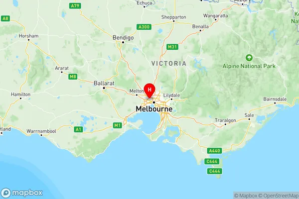
Melbourne North West Suburbs & Region, Melbourne North West Map & Postcodes
Melbourne North West Suburbs & Region, Melbourne North West Map & Postcodes in Melbourne North West, VIC, AU
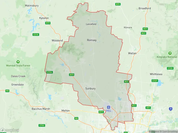
Melbourne North West Region
Region Name
Melbourne North West (VIC, AU)Melbourne North West Area
1620 square kilometers (1,620 ㎢)Postal Codes
3034, from 3040 to 3049, from 3058 to 3064, 3074, from 3428 to 3435, 3437, 3438, from 3440 to 3442, 3756, 3762, and 3764 (In total, there are 35 postcodes in Melbourne North West.)Melbourne North West Introduction
Melbourne North West is a suburb in Melbourne, Victoria, Australia. It is located 10 kilometers north-west of Melbourne's central business district and is part of the City of Brimbank local government area. The suburb has a population of around 13,000 people and is known for its large number of parks and recreational facilities. It is also home to a number of major shopping centers, including Westfield Doncaster and Westfield Plenty Valley.Australia State
City or Big Region
Melbourne North West Region Map

Melbourne North West Postcodes / Zip Codes
Melbourne North West Suburbs
Macedon Ranges
Moreland North
Tullamarine Broadmeadows
Melbourne North West full address
Melbourne North West, Victoria, VIC, Australia, SaCode: 210Country
Melbourne North West, Victoria, VIC, Australia, SaCode: 210
Melbourne North West Suburbs & Region, Melbourne North West Map & Postcodes has 5 areas or regions above, and there are 94 Melbourne North West suburbs below. The sa4code for the Melbourne North West region is 210. Its latitude and longitude coordinates are -37.7628,144.865.
Melbourne North West Suburbs & Localities
1. Carlsruhe
2. Forbes
3. Nulla Vale
4. Batman
5. Pascoe Vale South
6. Essendon
7. Essendon North
8. Thomastown
9. Upper Plenty
10. Bylands
11. Donnybrook
12. Airport West
13. Avondale Heights
14. Gisborne South
15. New Gisborne
16. Mount Macedon
17. Macedon
18. Riddells Creek
19. Cherokee
20. Clarkefield
21. Bolinda
22. Monegeetta
23. Fawkner East
24. Oak Park
25. Gowanbrae
26. Wildwood
27. Jacana
28. Coolaroo
29. Campbellfield
30. Westmeadows
31. Greenvale
32. Oaklands Junction
33. Bulla
34. Melbourne Airport
35. Somerton
