Oaklands Junction Area, Oaklands Junction Postcode(3063) & Map in Oaklands Junction, Melbourne - North West, VIC
Oaklands Junction Area, Oaklands Junction Postcode(3063) & Map in Oaklands Junction, Melbourne - North West, VIC, AU, Postcode: 3063
Oaklands Junction, Greenvale - Bulla, Tullamarine - Broadmeadows, Melbourne - North West, Victoria, Australia, 3063
Oaklands Junction Postcode
Area Name
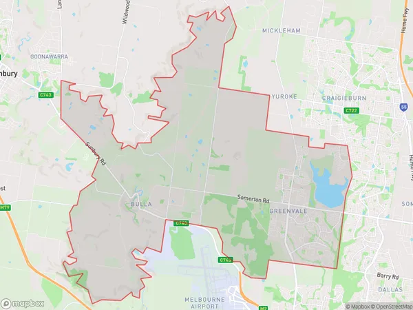
Oaklands JunctionOaklands Junction Suburb Area Map (Polygon)

Oaklands Junction Introduction
Oaklands Junction is a railway station located on the Craigieburn line in Melbourne, Victoria, Australia. It is located in the north-west suburb of Melbourne and serves the local community. The station was opened in 1889 and is currently served by Metro Trains' Craigieburn line. It is located 11.2 kilometers from Melbourne's central business district.State Name
City or Big Region
District or Regional Area
Suburb Name
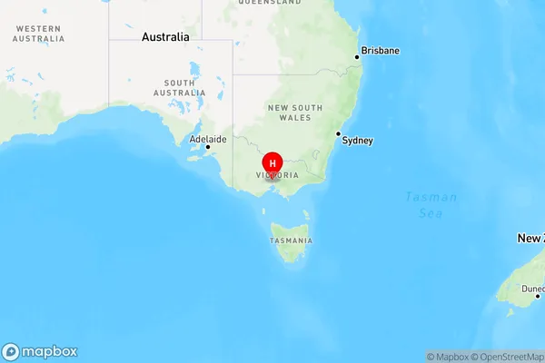
Oaklands Junction Region Map

Country
Main Region in AU
R1Coordinates
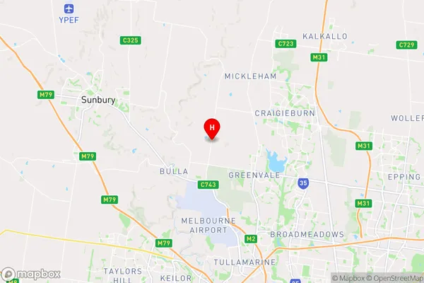
-37.6117964,144.8401227 (latitude/longitude)Oaklands Junction Area Map (Street)

Longitude
144.856082Latitude
-37.595015Oaklands Junction Elevation
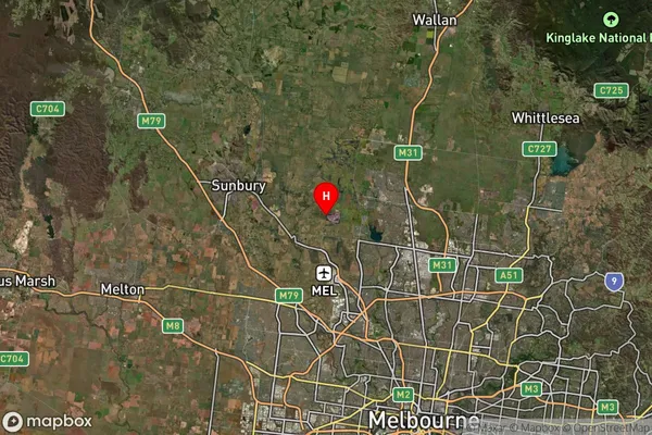
about 226.89 meters height above sea level (Altitude)Oaklands Junction Suburb Map (Satellite)

Distances
The distance from Oaklands Junction, Melbourne - North West, VIC to AU Greater Capital CitiesSA1 Code 2011
21005124623SA1 Code 2016
21005124630SA2 Code
210051246SA3 Code
21005SA4 Code
210RA 2011
1RA 2016
1MMM 2015
1MMM 2019
1Charge Zone
V1LGA Region
HumeLGA Code
23270Electorate
McEwen