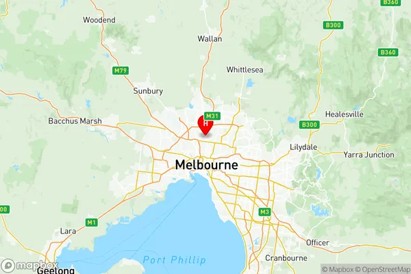
Moreland North Suburbs & Region, Moreland North Map & Postcodes
Moreland North Suburbs & Region, Moreland North Map & Postcodes in Moreland North, Melbourne North West, VIC, AU
Moreland North Region
Region Name
Moreland North (VIC, AU)Moreland North Area
30.38 square kilometers (30.38 ㎢)Postal Codes
3041, 3044, 3046, and 3058 (In total, there are 4 postcodes in Moreland North.)Moreland North Introduction
Moreland North is a suburb in Melbourne, Victoria, Australia 6 km north-west of Melbourne's central business district (CBD). Its local government area is the City of Moreland. At the 2016 Census, Moreland North had a population of 11,441. Moreland North is represented by two members on the Moreland City Council, with Labor holding one seat and the Greens holding the other. The suburb is part of the state electoral district of Northcote. The suburb has a mix of residential and commercial properties, with many apartments and townhouses. There are several parks and recreational facilities, including Moreland Park, Moreland Pool, and the Moreland Community Centre. The area is also home to several major hospitals, including the Royal Melbourne Hospital and the Royal Women's Hospital.Australia State
City or Big Region
District or Regional Area
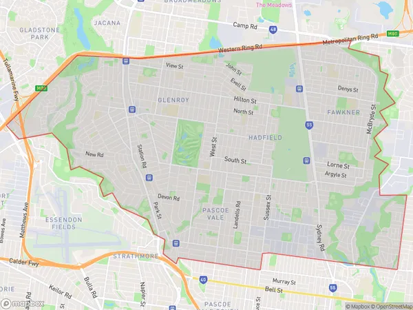
Moreland North Region Map

Moreland North Postcodes / Zip Codes
Moreland North Suburbs
Pascoe Vale South
Essendon Aberfeldie
Essendon Airport
Moreland North full address
Moreland North, Melbourne North West, Victoria, VIC, Australia, SaCode: 21003Country
Moreland North, Melbourne North West, Victoria, VIC, Australia, SaCode: 21003
Moreland North Suburbs & Region, Moreland North Map & Postcodes has 13 areas or regions above, and there are 15 Moreland North suburbs below. The sa3code for the Moreland North region is 21003. Its latitude and longitude coordinates are -37.726,144.96.
Moreland North Suburbs & Localities
1. Cross Keys
2. Essendon Fields
3. Essendon North
4. Strathmore
5. Strathmore Heights
6. Pascoe Vale
7. Pascoe Vale South
8. Glenroy
9. Hadfield
10. Oak Park
11. Batman
12. Coburg
13. Coburg North
14. Merlynston
15. Moreland
