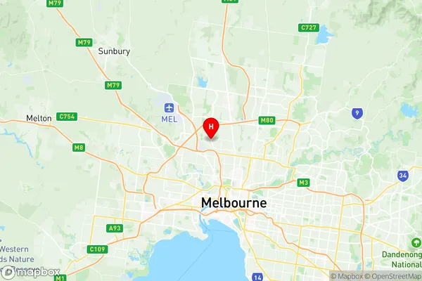
Pascoe Vale Suburbs & Region, Pascoe Vale Map & Postcodes
Pascoe Vale Suburbs & Region, Pascoe Vale Map & Postcodes in Pascoe Vale, Moreland North, Melbourne North West, VIC, AU
Pascoe Vale Region
Region Name
Pascoe Vale (VIC, AU)Postal Codes
3044, and 3046 (In total, there are 2 postcodes in Pascoe Vale.)Pascoe Vale Introduction
Pascoe Vale is a suburb in Melbourne, Australia, 8 km north-west of the Melbourne central business district. It is represented by the City of Moreland local government area. At the 2016 census, Pascoe Vale had a population of 15,135. The suburb was named after William Pascoe Vale, who was a squatter on the land in the 1850s. The post office opened as Pascoe Vale on 1 October 1859 and was closed on 1 July 1971. Pascoe Vale is known for its vibrant multicultural community and has a large number of restaurants, cafes, and shops. It is also home to the Pascoe Vale Football Club, which competes in the Victorian Football League (VFL). The suburb has a number of parks and recreational facilities, including the Pascoe Vale Reserve, which is a popular spot for picnics and barbecues. Pascoe Vale is well-connected to the rest of Melbourne, with easy access to the Melbourne CBD via the West Gate Freeway and the North East Link. It is also served by several bus routes and has a train station on the Craigieburn line.Australia State
City or Big Region
District or Regional Area
Suburb Name
Pascoe Vale Region Map

Pascoe Vale Postcodes / Zip Codes
Pascoe Vale Suburbs
Pascoe Vale full address
Pascoe Vale, Moreland North, Melbourne North West, Victoria, VIC, Australia, SaCode: 210031239Country
Pascoe Vale, Moreland North, Melbourne North West, Victoria, VIC, Australia, SaCode: 210031239
Pascoe Vale Suburbs & Region, Pascoe Vale Map & Postcodes has 0 areas or regions above, and there are 2 Pascoe Vale suburbs below. The sa2code for the Pascoe Vale region is 210031239. Its latitude and longitude coordinates are -37.718,144.919.
Pascoe Vale Suburbs & Localities
1. Oak Park
2. Pascoe Vale
