Strathmore Heights Area, Strathmore Heights Postcode(3041) & Map in Strathmore Heights, Melbourne - North West, VIC
Strathmore Heights Area, Strathmore Heights Postcode(3041) & Map in Strathmore Heights, Melbourne - North West, VIC, AU, Postcode: 3041
Strathmore Heights, Strathmore, Keilor, Melbourne - North West, Victoria, Australia, 3041
Strathmore Heights Postcode
Area Name
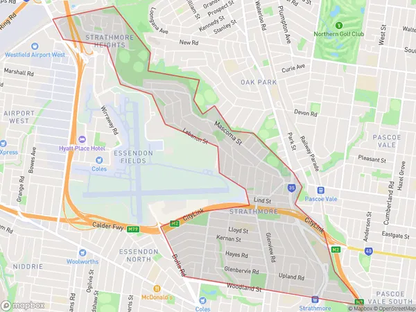
Strathmore HeightsStrathmore Heights Suburb Area Map (Polygon)

Strathmore Heights Introduction
Strathmore Heights is a suburb in Melbourne's north-west, located 10 kilometers from the CBD. It has a variety of shops, restaurants, and parks and is known for its tree-lined streets and well-maintained homes. The suburb has a strong sense of community and is popular with families and young professionals. It is also home to several educational institutions, including Strathmore College and the Australian Catholic University.State Name
City or Big Region
District or Regional Area
Suburb Name
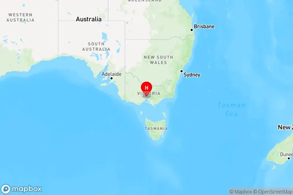
Strathmore Heights Region Map

Country
Main Region in AU
R1Coordinates
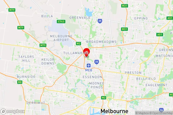
-37.713,144.897 (latitude/longitude)Strathmore Heights Area Map (Street)

Longitude
144.904815Latitude
-37.731464Strathmore Heights Elevation
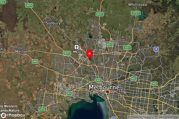
about 80.53 meters height above sea level (Altitude)Strathmore Heights Suburb Map (Satellite)

Distances
The distance from Strathmore Heights, Melbourne - North West, VIC to AU Greater Capital CitiesSA1 Code 2011
21001123113SA1 Code 2016
21001123113SA2 Code
210011231SA3 Code
21001SA4 Code
210RA 2011
1RA 2016
1MMM 2015
1MMM 2019
1Charge Zone
V1LGA Region
Moonee ValleyLGA Code
25060Electorate
Maribyrnong