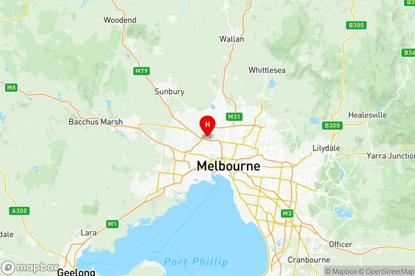
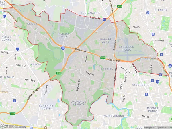
Keilor Suburbs & Region, Keilor Map & Postcodes
Keilor Suburbs & Region, Keilor Map & Postcodes in Keilor, Melbourne North West, VIC, AU
Keilor Region
Region Name
Keilor (VIC, AU)Keilor Area
42.42 square kilometers (42.42 ㎢)Postal Codes
3034, 3040, and 3042 (In total, there are 3 postcodes in Keilor.)Keilor Introduction
Keilor is a suburb of Melbourne, Victoria, Australia. It is located 10 kilometers north-west of Melbourne's central business district. The suburb is named after the Keilor River, which flows through it. Keilor was first settled in the 1850s and was originally a farming community. It has since developed into a residential suburb with a mix of houses and apartments. The suburb has a number of parks and recreational facilities, including the Keilor Park Golf Course and the Keilor Aquatic Centre. Keilor is also home to a number of major shopping centers, including Westfield Keilor Plaza and Keilor Village.Australia State
City or Big Region
District or Regional Area
Keilor Region Map

Keilor Postcodes / Zip Codes
Keilor Suburbs
Niddrie Essendon West
Avondale Heights
Keilor full address
Keilor, Melbourne North West, Victoria, VIC, Australia, SaCode: 21001Country
Keilor, Melbourne North West, Victoria, VIC, Australia, SaCode: 21001
Keilor Suburbs & Region, Keilor Map & Postcodes has 6 areas or regions above, and there are 8 Keilor suburbs below. The sa3code for the Keilor region is 21001. Its latitude and longitude coordinates are -37.7262,144.881.
Keilor Suburbs & Localities
1. Avondale Heights
2. Niddrie
3. Keilor Park
4. Essendon
5. Essendon West
6. Aberfeldie
7. Airport West
8. Niddrie North
