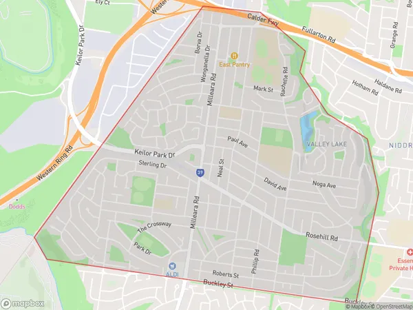
Keilor East Suburbs & Region, Keilor East Map & Postcodes
Keilor East Suburbs & Region, Keilor East Map & Postcodes in Keilor East, Keilor, Melbourne North West, VIC, AU
Keilor East Region
Region Name
Keilor East (VIC, AU)Keilor East Area
5.48 square kilometers (5.48 ㎢)Keilor East Introduction
Keilor East is a suburb in Melbourne, Victoria, Australia. It is located 10 kilometers north-west of Melbourne's central business district. The postcode for Keilor East is 3036. The suburb was named after the Keilor River, which flows through it. The suburb has a variety of shops, restaurants, and parks. It is also home to several major sporting facilities, including the Keilor Park Golf Club and the Keilor Aquatic and Recreation Centre. The population of Keilor East is approximately 16,000 people.Australia State
City or Big Region
Greater Capital City
Greater Melbourne (2GMEL)District or Regional Area
Suburb Name
Keilor East Suburbs
Keilor East full address
Keilor East, Keilor, Melbourne North West, Victoria, VIC, Australia, SaCode: 210011534Country
Keilor East, Keilor, Melbourne North West, Victoria, VIC, Australia, SaCode: 210011534
Keilor East Suburbs & Region, Keilor East Map & Postcodes has 0 areas or regions above, and there are 0 Keilor East suburbs below. The sa2code for the Keilor East region is 210011534. Keilor East area belongs to Australia's greater capital city Greater Melbourne.
