Batman Area, Batman Postcode(3058) & Map in Batman, Melbourne - Inner, VIC
Batman Area, Batman Postcode(3058) & Map in Batman, Melbourne - Inner, VIC, AU, Postcode: 3058
Batman, Coburg, Brunswick - Coburg, Melbourne - Inner, Victoria, Australia, 3058
Batman Postcode
Area Name
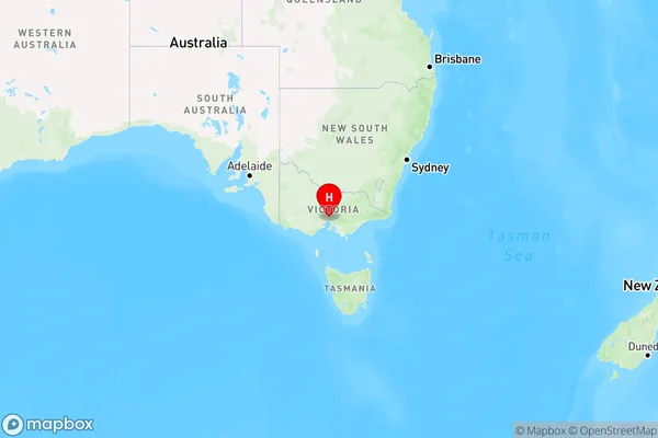
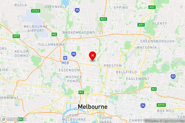
BatmanBatman Suburb Area Map (Polygon)

Batman Introduction
Batman, Melbourne - Inner, VIC, AU, is a suburb located 5 kilometers north-east of Melbourne's central business district. It is part of the City of Melbourne local government area and is known for its vibrant arts and culture scene. The suburb has a rich history and is home to many historic buildings, including the Batman Building, which was built in 1891. Batman also has a variety of parks and recreational facilities, including the Queen Victoria Market and the Carlton Gardens.State Name
City or Big Region
District or Regional Area
Suburb Name
Batman Region Map

Country
Main Region in AU
R1Coordinates
-37.7345019,144.9630404 (latitude/longitude)Batman Area Map (Street)

Longitude
144.964524Latitude
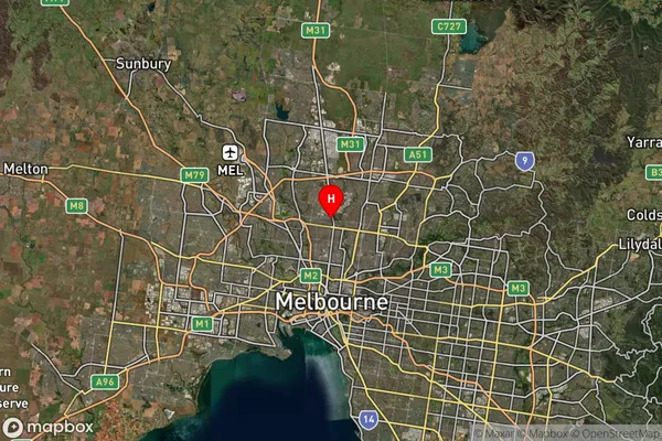
-37.739901Batman Suburb Map (Satellite)

Distances
The distance from Batman, Melbourne - Inner, VIC to AU Greater Capital CitiesSA1 Code 2011
20601110801SA1 Code 2016
20601110801SA2 Code
206011108SA3 Code
20601SA4 Code
206RA 2011
1RA 2016
1MMM 2015
1MMM 2019
1Charge Zone
V1LGA Region
MorelandLGA Code
25250Electorate
Wills