Moreland Area, Moreland Postcode(3058) & Map in Moreland, Melbourne - Inner, VIC
Moreland Area, Moreland Postcode(3058) & Map in Moreland, Melbourne - Inner, VIC, AU, Postcode: 3058
Moreland, Coburg, Brunswick - Coburg, Melbourne - Inner, Victoria, Australia, 3058
Moreland Postcode
Area Name
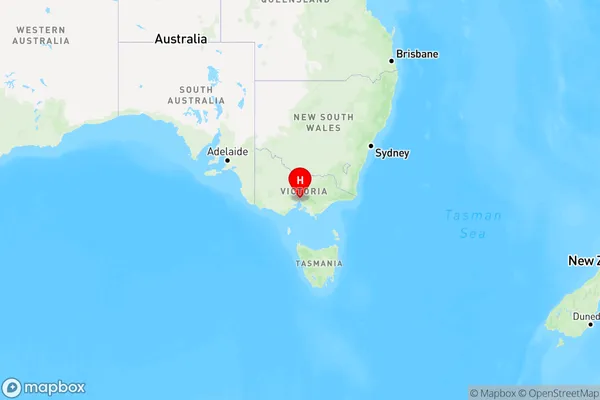
MorelandMoreland Suburb Area Map (Polygon)

Moreland Introduction
Moreland is a suburb in Melbourne, Victoria, Australia. It is located 7 kilometers north-east of Melbourne's Central Business District. The suburb has a population of approximately 100,000 people and is known for its diverse culture and community. It is home to a number of parks and recreational facilities, including Moreland Park, which is a popular spot for picnics and outdoor activities.State Name
City or Big Region
District or Regional Area
Suburb Name
Moreland Region Map

Country
Main Region in AU
R1Coordinates
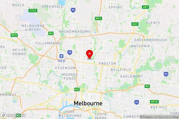
-37.7343488,144.9666905 (latitude/longitude)Moreland Area Map (Street)

Longitude
144.964524Latitude
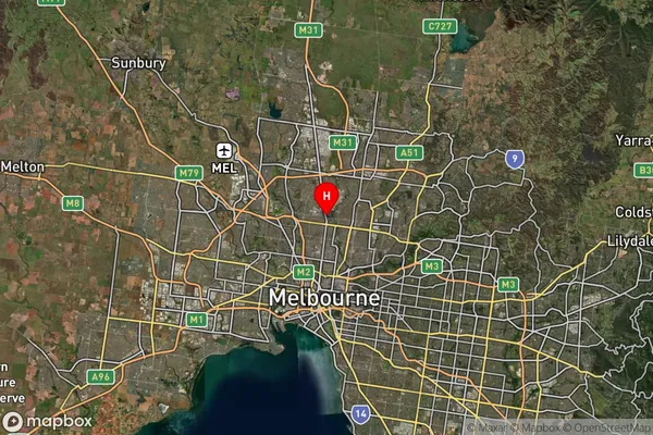
-37.739901Moreland Suburb Map (Satellite)

Distances
The distance from Moreland, Melbourne - Inner, VIC to AU Greater Capital CitiesSA1 Code 2011
20601110852SA1 Code 2016
20601110852SA2 Code
206011108SA3 Code
20601SA4 Code
206RA 2011
1RA 2016
1MMM 2015
1MMM 2019
1Charge Zone
V1LGA Region
MorelandLGA Code
25250Electorate
Wills