Melbourne Airport Area, Melbourne Airport Postcode(3045) & Map in Melbourne Airport, Melbourne - North West, VIC
Melbourne Airport Area, Melbourne Airport Postcode(3045) & Map in Melbourne Airport, Melbourne - North West, VIC, AU, Postcode: 3045
Melbourne Airport, Melbourne Airport, Tullamarine - Broadmeadows, Melbourne - North West, Victoria, Australia, 3045
Melbourne Airport Postcode
Area Name
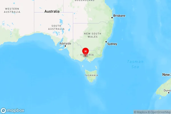
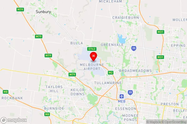
Melbourne AirportMelbourne Airport Suburb Area Map (Polygon)

Melbourne Airport Introduction
Melbourne Airport is the second-busiest airport in Australia and the busiest in Victoria, handling over 40 million passengers annually. It is located approximately 9 miles from the Melbourne city center and offers a wide range of domestic and international flights. The airport has two main terminals, T1 and T2, as well as a range of facilities and services for passengers, including restaurants, shops, and currency exchange. It is also home to a number of airlines, including Qantas, Virgin Australia, and Jetstar.State Name
City or Big Region
District or Regional Area
Suburb Name
Melbourne Airport Region Map

Country
Main Region in AU
R1Coordinates
-37.6679317,144.8401227 (latitude/longitude)Melbourne Airport Area Map (Street)

Longitude
144.836195Latitude
-37.674739Melbourne Airport Elevation
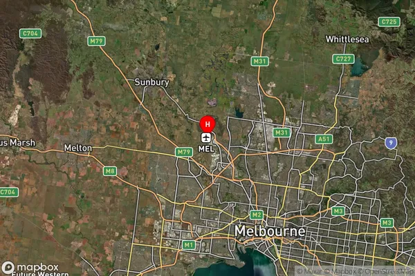
about 104.73 meters height above sea level (Altitude)Melbourne Airport Suburb Map (Satellite)

Distances
The distance from Melbourne Airport, Melbourne - North West, VIC to AU Greater Capital CitiesSA1 Code 2011
21005124801SA1 Code 2016
21005124801SA2 Code
210051248SA3 Code
21005SA4 Code
210RA 2011
1RA 2016
1MMM 2015
1MMM 2019
1Charge Zone
V1LGA Region
BrimbankLGA Code
21180Electorate
Calwell