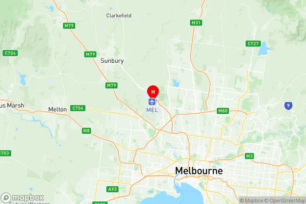
Melbourne Airport Suburbs & Region, Melbourne Airport Map & Postcodes
Melbourne Airport Suburbs & Region, Melbourne Airport Map & Postcodes in Melbourne Airport, Tullamarine Broadmeadows, Melbourne North West, VIC, AU
Melbourne Airport Region
Region Name
Melbourne Airport (VIC, AU)Melbourne Airport Area
30.38 square kilometers (30.38 ㎢)Postal Codes
3045 (In total, there are 1 postcodes in Melbourne Airport.)Melbourne Airport Introduction
Melbourne Airport is located approximately 9 miles (14.5 km) north of the central business district of Melbourne, Victoria, Australia. It is the second-busiest airport in Australia and the busiest airport in Victoria, handling over 40 million passengers annually. The airport is home to a wide range of airlines, including Qantas, Virgin Australia, Jetstar, and Emirates, as well as several domestic and international carriers. Melbourne Airport offers a comprehensive range of services and facilities to passengers, including a variety of shops, restaurants, cafes, and lounges. It also features a range of transportation options, including taxi, shuttle, and public transport services, as well as car rental services. The airport is well-connected to the city's major road networks, including the M1 and M3 highways, and is easily accessible from all parts of Melbourne and its surrounding regions. In terms of aviation operations, Melbourne Airport is a major hub for domestic and international flights. It is home to a number of airlines, including Qantas, Virgin Australia, Jetstar, and Emirates, and serves as a base for a number of regional and international airlines. The airport is also a major hub for air freight operations, handling a wide range of cargo and freight shipments. Overall, Melbourne Airport is a vital transportation hub for the city of Melbourne and the broader region of Victoria, playing a crucial role in the economy and tourism of the area.Australia State
City or Big Region
Greater Capital City
Greater Melbourne (2GMEL)District or Regional Area
Suburb Name
Melbourne Airport Region Map

Melbourne Airport Postcodes / Zip Codes
Melbourne Airport Suburbs
Melbourne Airport full address
Melbourne Airport, Tullamarine Broadmeadows, Melbourne North West, Victoria, VIC, Australia, SaCode: 210051248Country
Melbourne Airport, Tullamarine Broadmeadows, Melbourne North West, Victoria, VIC, Australia, SaCode: 210051248
Melbourne Airport Suburbs & Region, Melbourne Airport Map & Postcodes has 0 areas or regions above, and there are 1 Melbourne Airport suburbs below. The sa2code for the Melbourne Airport region is 210051248. Its latitude and longitude coordinates are -37.6679,144.84. Melbourne Airport area belongs to Australia's greater capital city Greater Melbourne.
Melbourne Airport Suburbs & Localities
1. Melbourne Airport
