Westmeadows Area, Westmeadows Postcode(3049) & Map in Westmeadows, Melbourne - North West, VIC
Westmeadows Area, Westmeadows Postcode(3049) & Map in Westmeadows, Melbourne - North West, VIC, AU, Postcode: 3049
Westmeadows, Gladstone Park - Westmeadows, Tullamarine - Broadmeadows, Melbourne - North West, Victoria, Australia, 3049
Westmeadows Postcode
Area Name
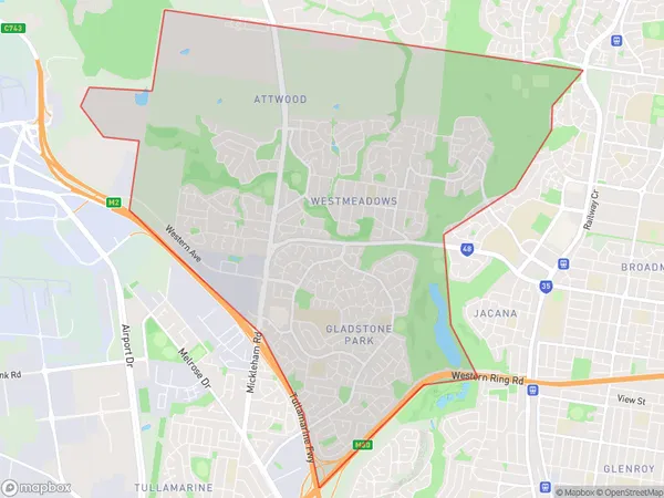
WestmeadowsWestmeadows Suburb Area Map (Polygon)

Westmeadows Introduction
Westmeadows is a suburb in Melbourne, Australia, 10 kilometers northwest of the city center. It is home to a variety of shops, restaurants, and parks and is known for its multicultural community. The suburb has a large population of immigrants from countries such as India, Pakistan, and Sri Lanka, and is home to many religious and cultural institutions. Westmeadows also has a well-developed public transportation system, with several bus and train lines serving the area.State Name
City or Big Region
District or Regional Area
Suburb Name
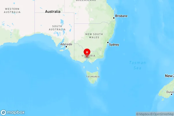
Westmeadows Region Map

Country
Main Region in AU
R1Coordinates
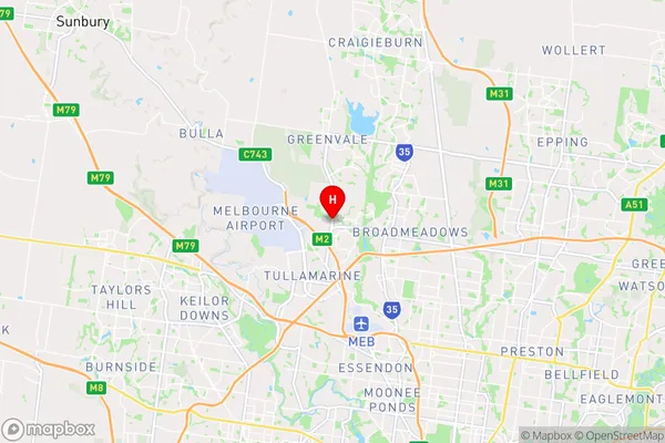
-37.6779426,144.8843087 (latitude/longitude)Westmeadows Area Map (Street)

Longitude
144.888492Latitude
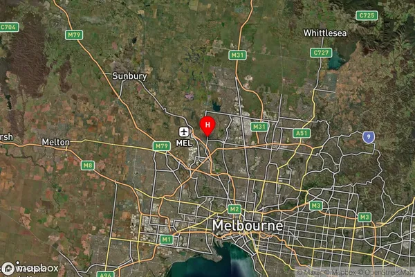
-37.673182Westmeadows Suburb Map (Satellite)

Distances
The distance from Westmeadows, Melbourne - North West, VIC to AU Greater Capital CitiesSA1 Code 2011
21005124510SA1 Code 2016
21005124510SA2 Code
210051245SA3 Code
21005SA4 Code
210RA 2011
1RA 2016
1MMM 2015
1MMM 2019
1Charge Zone
V1LGA Region
MorelandLGA Code
25250Electorate
Calwell