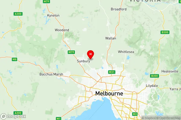
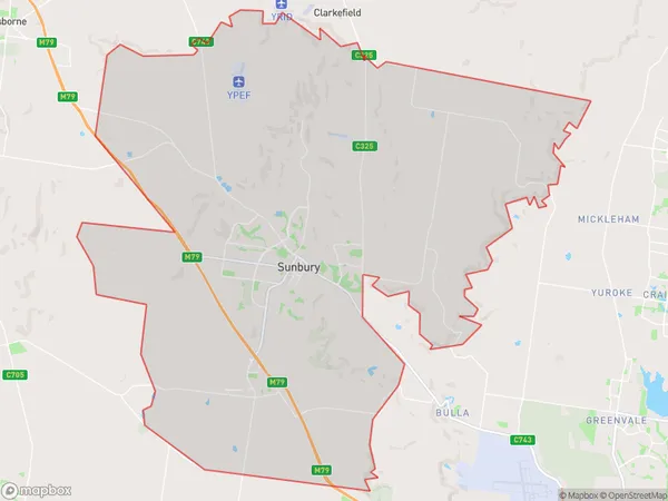
Sunbury Suburbs & Region, Sunbury Map & Postcodes
Sunbury Suburbs & Region, Sunbury Map & Postcodes in Sunbury, Melbourne North West, VIC, AU
Sunbury Region
Region Name
Sunbury (VIC, AU)Sunbury Area
260.68 square kilometers (260.68 ㎢)Postal Codes
from 3429 to 3431 (In total, there are 3 postcodes in Sunbury.)Sunbury Introduction
Sunbury is a suburb in Melbourne's north-west, 12 kilometers from the city center. It is home to a significant number of Punjabi Sikhs and Indians. The suburb has several parks, including Lake Sunbury and Sunbury Park. The Sunbury railway station is located on the Craigieburn line and provides frequent services to Melbourne. The suburb has a variety of shops, restaurants, and cafes, and is known for its multicultural atmosphere.Australia State
City or Big Region
District or Regional Area
Sunbury Region Map

Sunbury Postcodes / Zip Codes
Sunbury Suburbs
Sunbury full address
Sunbury, Melbourne North West, Victoria, VIC, Australia, SaCode: 21004Country
Sunbury, Melbourne North West, Victoria, VIC, Australia, SaCode: 21004
Sunbury Suburbs & Region, Sunbury Map & Postcodes has 5 areas or regions above, and there are 4 Sunbury suburbs below. The sa3code for the Sunbury region is 21004. Its latitude and longitude coordinates are -37.5718,144.794.
Sunbury Suburbs & Localities
1. Clarkefield
2. Sunbury
3. Riddells Creek
4. Wildwood
