Sunbury Area, Sunbury Postcode(3429) & Map in Sunbury, Melbourne - North West, VIC
Sunbury Area, Sunbury Postcode(3429) & Map in Sunbury, Melbourne - North West, VIC, AU, Postcode: 3429
Sunbury, Sunbury - South, Sunbury, Melbourne - North West, Victoria, Australia, 3429
Sunbury Postcode
Area Name
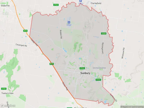
SunburySunbury Suburb Area Map (Polygon)

Sunbury Introduction
Sunbury is a suburb in Melbourne's north-west, 14 km from the CBD. It has a variety of shops, restaurants, and parks and is home to the Sunbury railway station. The suburb has a large multicultural community and is known for its affordable housing.State Name
City or Big Region
District or Regional Area
Suburb Name
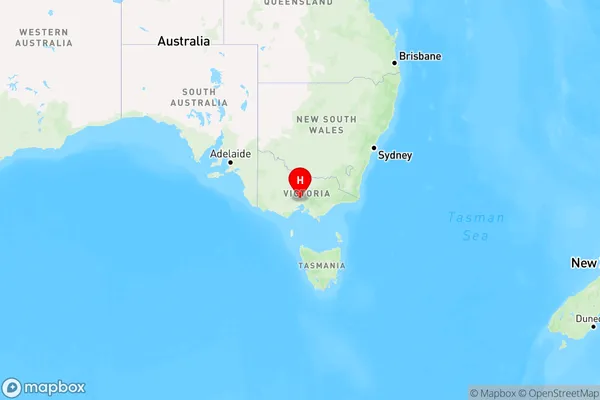
Sunbury Region Map

Country
Main Region in AU
R1Coordinates
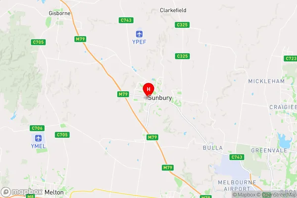
-37.581111,144.713889 (latitude/longitude)Sunbury Area Map (Street)

Longitude
144.728973Latitude
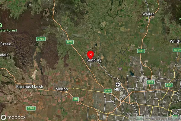
-37.56762Sunbury Suburb Map (Satellite)

Distances
The distance from Sunbury, Melbourne - North West, VIC to AU Greater Capital CitiesSA1 Code 2011
21004124118SA1 Code 2016
21004124118SA2 Code
210041241SA3 Code
21004SA4 Code
210RA 2011
1RA 2016
1MMM 2015
1MMM 2019
1Charge Zone
V1LGA Region
HumeLGA Code
23270Electorate
McEwen