Geelong Suburbs & Region, Geelong Map & Postcodes
Geelong Suburbs & Region, Geelong Map & Postcodes in Geelong, VIC, AU
Geelong Region
Region Name
Geelong (VIC, AU)Geelong Area
918.89 square kilometers (918.89 ㎢)Postal Codes
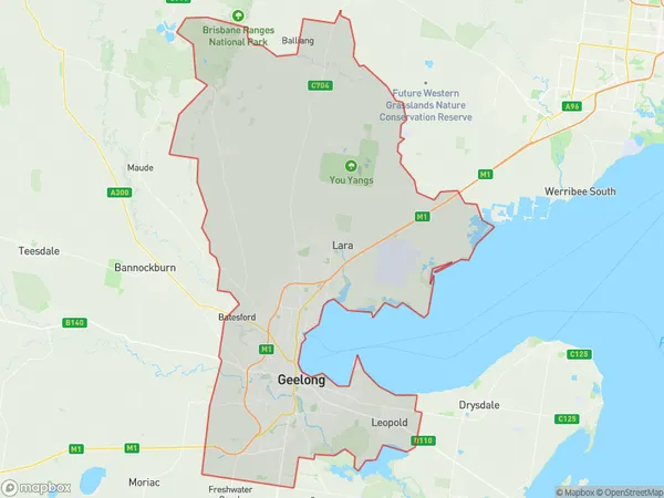
3212, 3214, 3215, from 3217 to 3220, and 3224 (In total, there are 8 postcodes in Geelong.)Geelong Suburb Area Map (Polygon)
Geelong Introduction
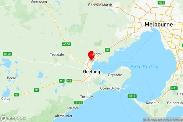
Geelong is a port city on the Corio Bay coast of Victoria, Australia. It is the second-largest city in the state of Victoria and the second-most populous city in the Greater Geelong region. Geelong is known for its vibrant arts and culture scene, with numerous galleries, museums, and theaters. It is also home to the Geelong Football Club, a popular Australian Rules Football team. The city is surrounded by beautiful beaches and the Great Ocean Road, making it a popular destination for tourists.Australia State
City or Big Region
District or Regional Area
Geelong Region Map
Geelong Postcodes / Zip Codes
Geelong Suburbs
Corio Norlane
Grovedale
Leopold
Newtown (Vic.)
North Geelong Bell Park
Charlemont
Corio Lovely Banks
Grovedale Mount Duneed
Norlane
Burwood
Geelong full address
Geelong, Victoria, VIC, Australia, SaCode: 20302Country
Geelong, Victoria, VIC, Australia, SaCode: 20302
Geelong Suburbs & Region, Geelong Map & Postcodes has 10 areas or regions above, and there are 36 Geelong suburbs below. The sa3code for the Geelong region is 20302. Its latitude and longitude coordinates are -38.0741,144.359.
Geelong Suburbs & Localities
1. Hamlyn Heights
2. North Geelong
3. Rippleside
4. Armstrong Creek
5. Charlemont
6. Deakin University
7. Geelong West
8. Manifold Heights
9. Breakwater
10. East Geelong
11. St Albans Park
12. Thomson
13. Geelong
14. Newtown
15. Bell Park
16. Geelong North
17. Freshwater Creek
18. Stonehaven
19. Leopold
20. Moolap
21. Lara
22. Point Wilson
23. Drumcondra
24. Mount Duneed
25. Herne Hill
26. Murgheboluc
27. Newcomb
28. Whittington
29. South Geelong
30. Avalon
31. Corio
32. Norlane
33. North Shore
34. Bell Post Hill
35. Fyansford
36. Bareena