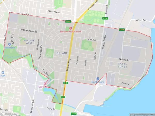
Norlane Suburbs & Region, Norlane Map & Postcodes
Norlane Suburbs & Region, Norlane Map & Postcodes in Norlane, Geelong, VIC, AU
Norlane Region
Region Name
Norlane (VIC, AU)Norlane Area
6.46 square kilometers (6.46 ㎢)Norlane Introduction
Norlane is a locality in the City of Greater Geelong, Victoria, Australia. It is located in the western part of the city, adjacent to the Barwon River. Norlane is known for its rural atmosphere and scenic surroundings, with many homes and farms located in the area. The Norlane Shopping Centre is a major landmark in the area, providing shopping and dining options for residents. The area also has a number of parks and recreational facilities, including the Norlane Reserve and the Norlane Football Club. Norlane is a popular residential area for families and individuals who enjoy a quiet and peaceful lifestyle.Australia State
City or Big Region
Greater Capital City
Rest of Vic. (2RVIC)District or Regional Area
Suburb Name
Norlane Suburbs
Norlane full address
Norlane, Geelong, Victoria, VIC, Australia, SaCode: 203021488Country
Norlane, Geelong, Victoria, VIC, Australia, SaCode: 203021488
Norlane Suburbs & Region, Norlane Map & Postcodes has 0 areas or regions above, and there are 0 Norlane suburbs below. The sa2code for the Norlane region is 203021488. Norlane area belongs to Australia's greater capital city Rest of Vic..
