Newcomb Area, Newcomb Postcode(3219) & Map in Newcomb, Geelong, VIC
Newcomb Area, Newcomb Postcode(3219) & Map in Newcomb, Geelong, VIC, AU, Postcode: 3219
Newcomb, Newcomb - Moolap, Geelong, Geelong, Victoria, Australia, 3219
Newcomb Postcode
Area Name
NewcombNewcomb Suburb Area Map (Polygon)

Newcomb Introduction
Newcomb is a suburb of Geelong, Victoria, Australia. It is located in the City of Greater Geelong local government area. Newcomb is named after William Newcomb, who was a squatter on the land in the 1830s. The suburb has a variety of housing styles, including single-family homes, apartments, and townhouses. It is close to the Geelong CBD, with easy access to public transportation and amenities. Newcomb also has a number of parks and recreational facilities, including the Newcomb Reserve and the Newcomb Sports Complex.State Name
City or Big Region
District or Regional Area
Suburb Name
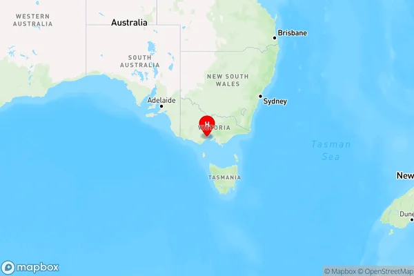
Newcomb Region Map

Country
Main Region in AU
R2Coordinates
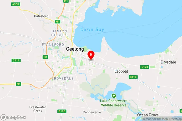
-38.17,144.396 (latitude/longitude)Newcomb Area Map (Street)

Longitude
144.389533Latitude
-38.17277Newcomb Elevation
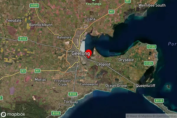
about 4.95 meters height above sea level (Altitude)Newcomb Suburb Map (Satellite)

Distances
The distance from Newcomb, Geelong, VIC to AU Greater Capital CitiesSA1 Code 2011
20302104535SA1 Code 2016
20302104535SA2 Code
203021045SA3 Code
20302SA4 Code
203RA 2011
1RA 2016
1MMM 2015
1MMM 2019
1Charge Zone
V1LGA Region
Greater GeelongLGA Code
22750Electorate
Corio