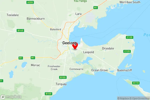
Newcomb Moolap Suburbs & Region, Newcomb Moolap Map & Postcodes
Newcomb Moolap Suburbs & Region, Newcomb Moolap Map & Postcodes in Newcomb Moolap, Warrnambool Otway Ranges, Warrnambool and South West, VIC, AU
Newcomb Moolap Region
Region Name
Newcomb Moolap (VIC, AU)Newcomb Moolap Area
43.29 square kilometers (43.29 ㎢)Newcomb Moolap Introduction
Newcomb Moolap is a locality in the City of Warrnambool, Victoria, Australia. It is located in the Western District of the state, 12 km south-west of Warrnambool's central business district. The post office opened as Newcomb on 1 October 1891 and was closed on 1 March 1975. The name was changed to Moolap on 1 July 1927. The present post office opened on 1 November 1976 and was closed on 1 February 1994. Newcomb Moolap is primarily a residential area, with a small commercial area located on the Princes Highway. The area is known for its scenic views of the surrounding countryside and the Warrnambool River. The nearest major town is Hamilton, which is 30 km away. The area has a number of parks and recreational facilities, including the Newcomb Reserve, Moolap Reserve, and the Warrnambool Botanic Gardens. The Newcomb Football Club is based in the area and is a prominent part of the local sporting community. Newcomb Moolap is a quiet and peaceful suburb with a strong sense of community. It is an ideal place to live for those who enjoy the outdoors and the relaxed lifestyle of country living.Australia State
City or Big Region
Greater Capital City
Rest of Vic. (2RVIC)District or Regional Area
Suburb Name
Newcomb Moolap Region Map

Newcomb Moolap Suburbs
Newcomb Moolap full address
Newcomb Moolap, Warrnambool Otway Ranges, Warrnambool and South West, Victoria, VIC, Australia, SaCode: 203021045Country
Newcomb Moolap, Warrnambool Otway Ranges, Warrnambool and South West, Victoria, VIC, Australia, SaCode: 203021045
Newcomb Moolap Suburbs & Region, Newcomb Moolap Map & Postcodes has 0 areas or regions above, and there are 0 Newcomb Moolap suburbs below. The sa2code for the Newcomb Moolap region is 203021045. Its latitude and longitude coordinates are -38.18,144.39. Newcomb Moolap area belongs to Australia's greater capital city Rest of Vic..
